
CultureNear Cavalcante
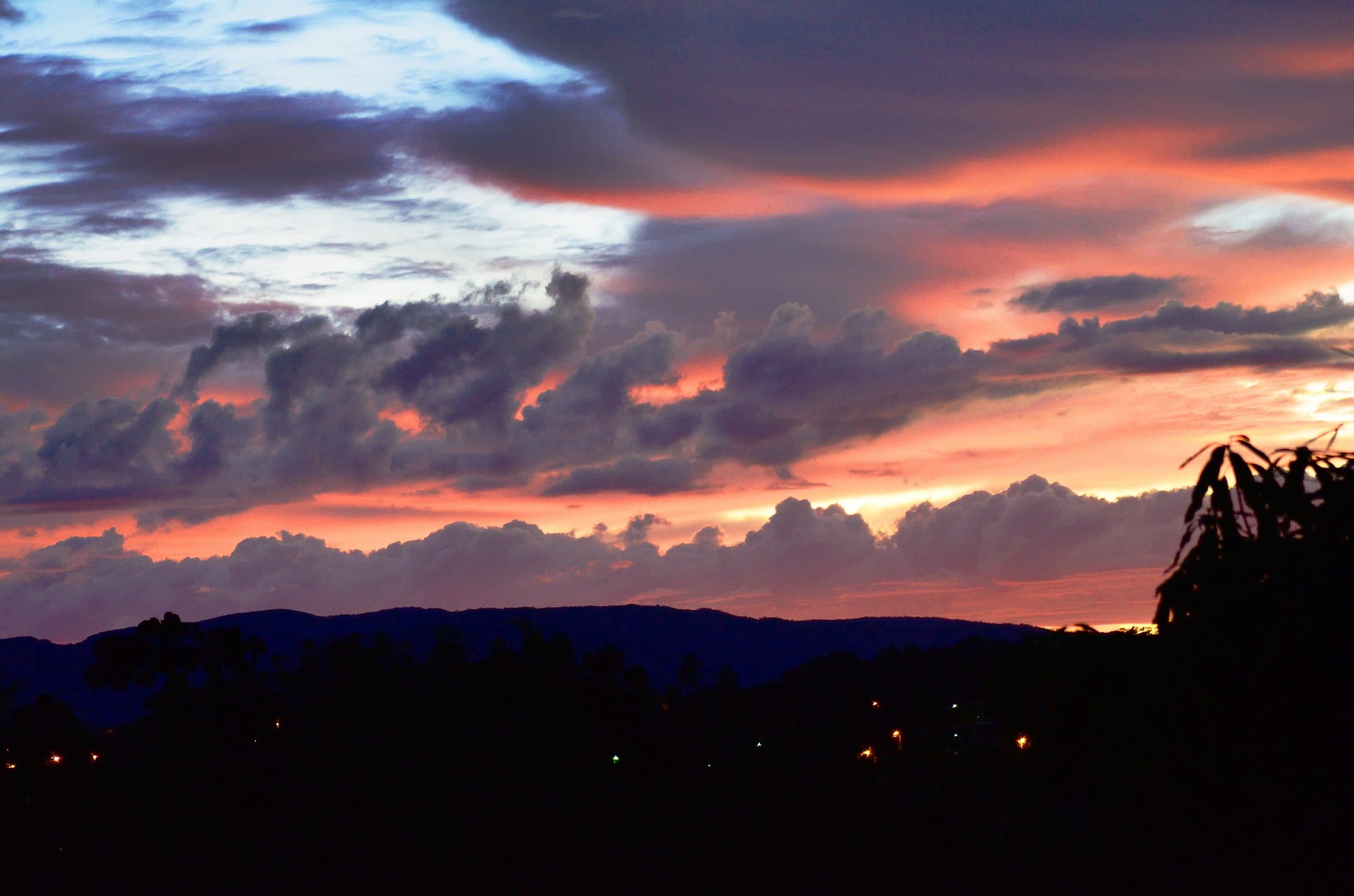
© André Azevedo Praude · CC BY-SA 3.0
Build your trip
Save waterfalls, trails and guesthouses as you browse, and build your own route through the Chapada.
The stay
Between Vila de São Jorge and the Bar do Mirante, on the access road to Chapada dos Veadeiros National Park, west of the village and north of the GO-239.
 Vila InfinitoExperiential Chalets
Towns and villages
Culture
 Towns and villagesCavalcanteImage credit: Carlos Ebert from São Paulo, BrazilGRU · CC BY 2.0
Build your trip
Save waterfalls, trails and guesthouses as you browse, and build your own route through the Chapada.
 ViewpointWindow LookoutImage credit: ThiagoALacerda · CC BY-SA 4.0
The stay
Between Vila de São Jorge and the Bar do Mirante, on the access road to Chapada dos Veadeiros National Park, west of the village and north of the GO-239.
 Towns and villagesVila de São JorgeImage credit: MTur Destinos · Public domain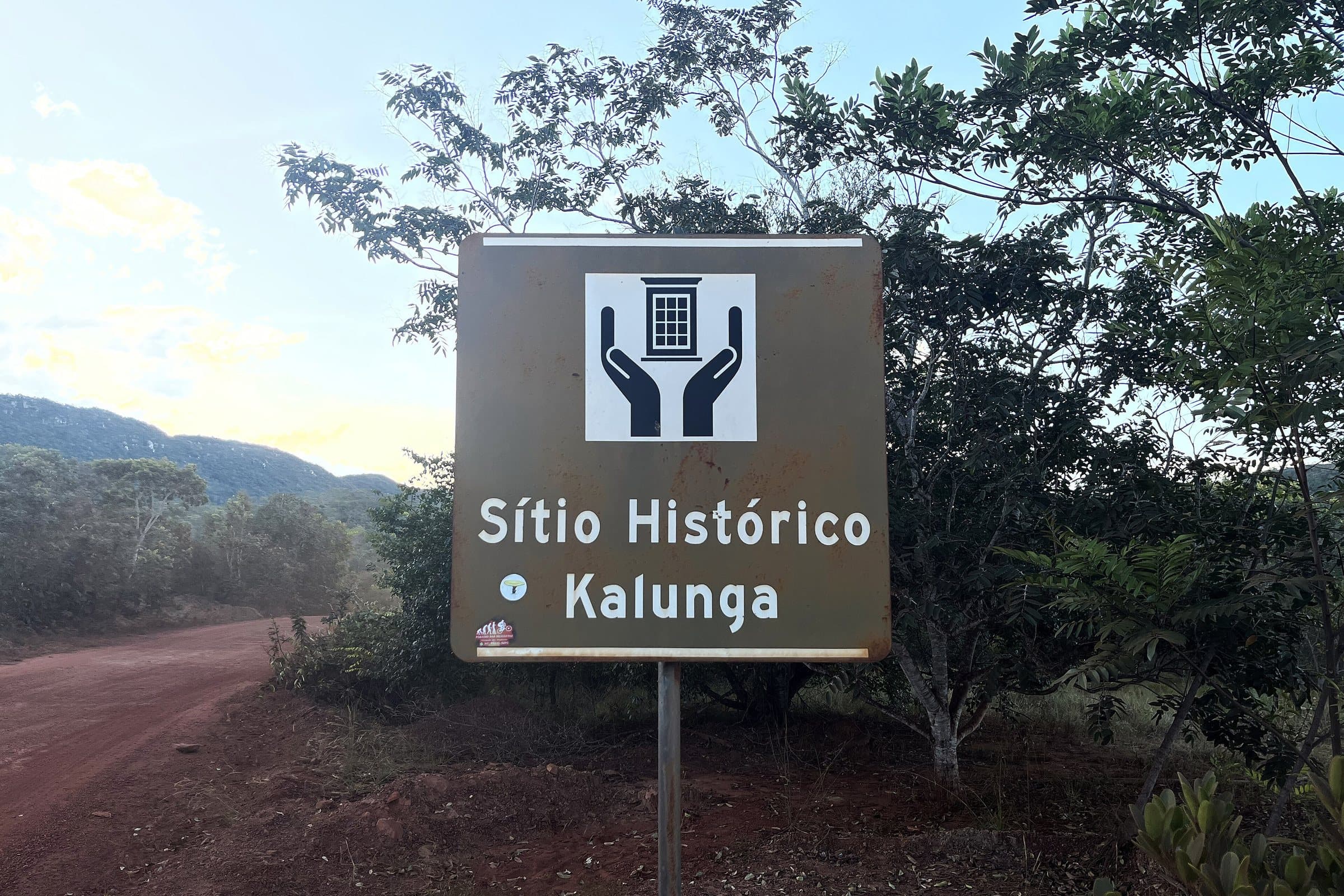
Image creditEdnei Fialho LopesCC BY-SA 4.0Wikimedia Commons
Culture
Near Cavalcante
We do not have a confirmed direct channel yet. Ask the tourist service center or a local guide.
Pets
We have not found a confirmed public policy for this visit. Contact the operator before bringing your pet.
Entrance and distances not yet confirmed. Check the access directions on this page and arrange your arrival point with the operator.
Part of this page has not been translated yet and is shown in Portuguese. Original place names help when contacting local operators.
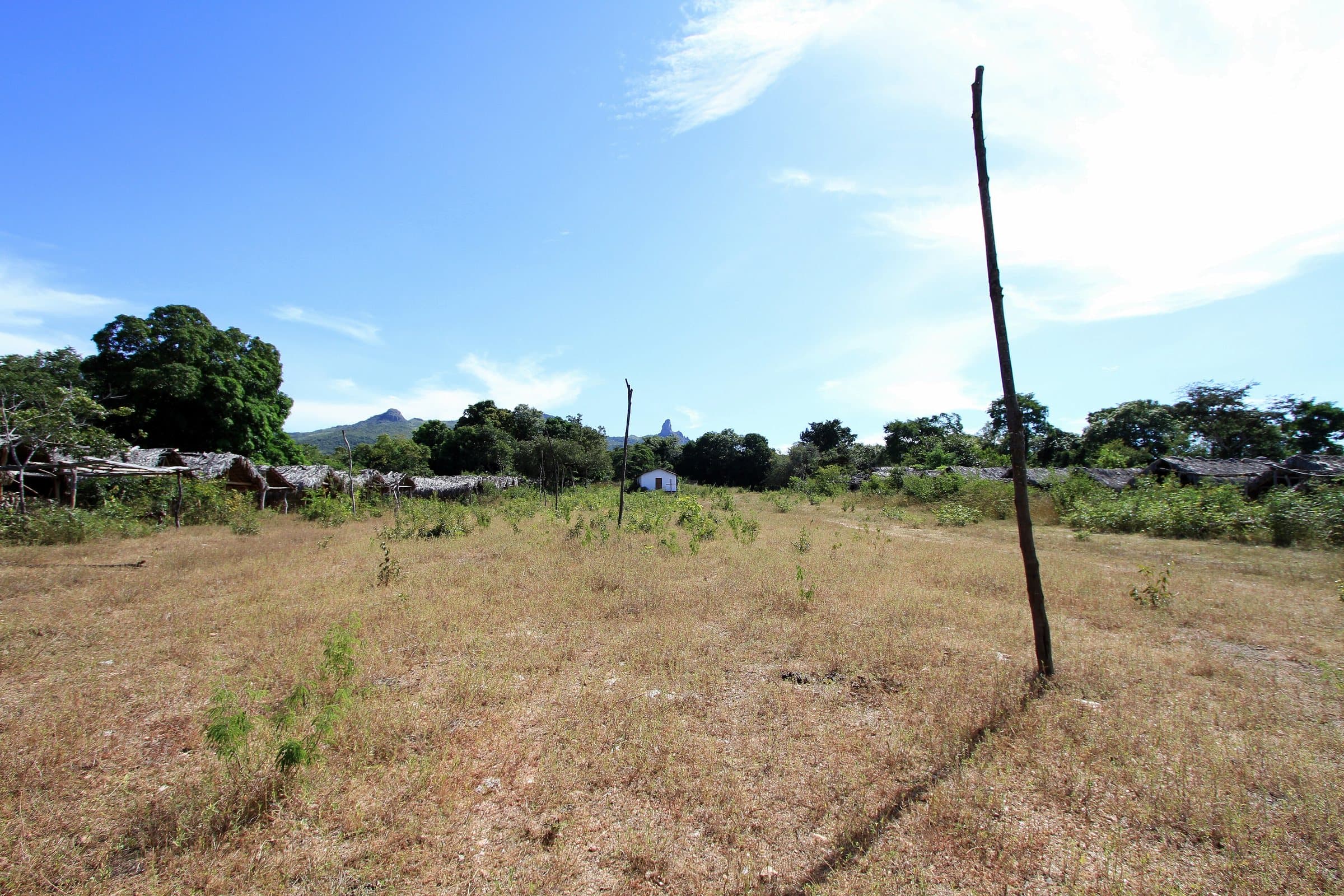
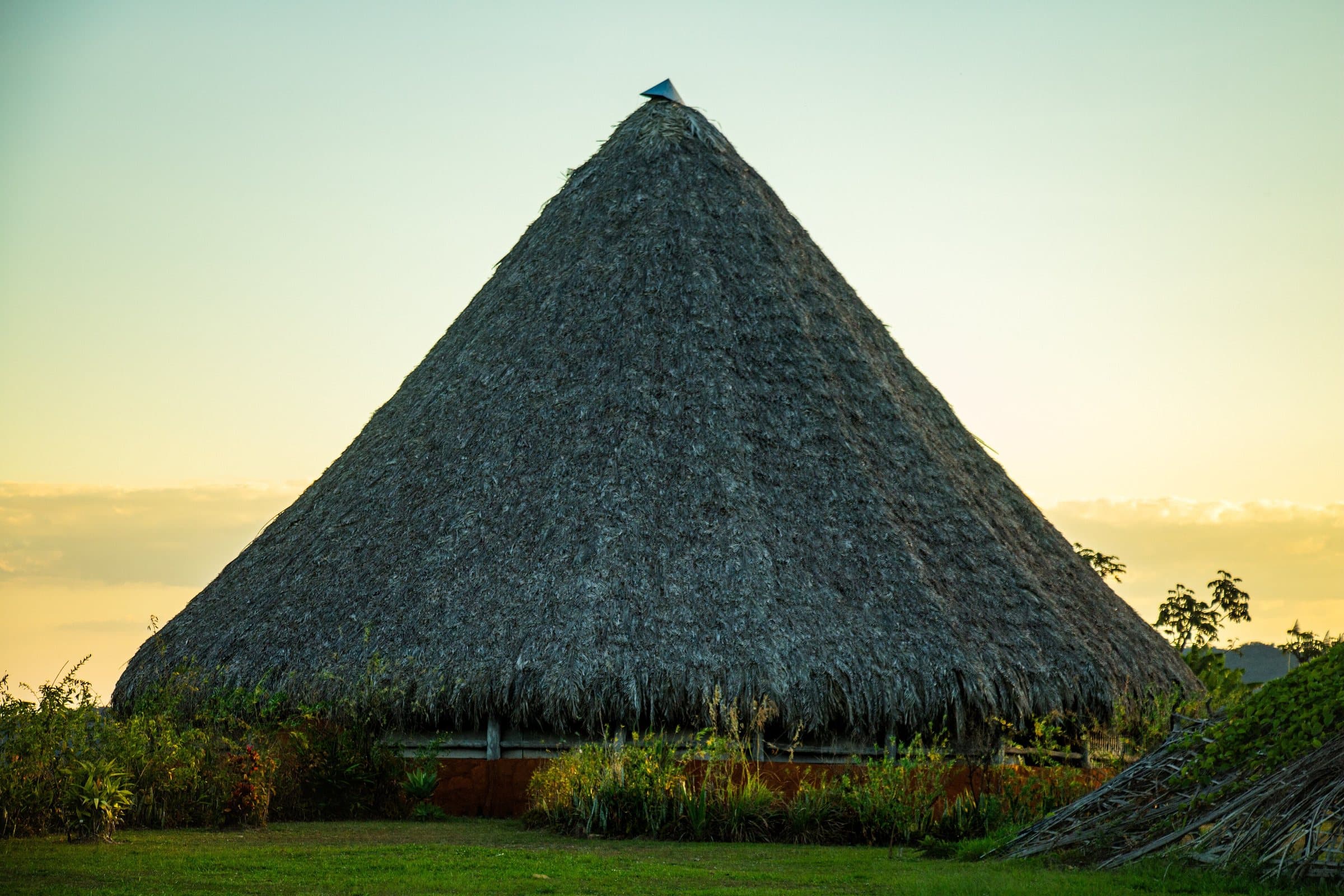
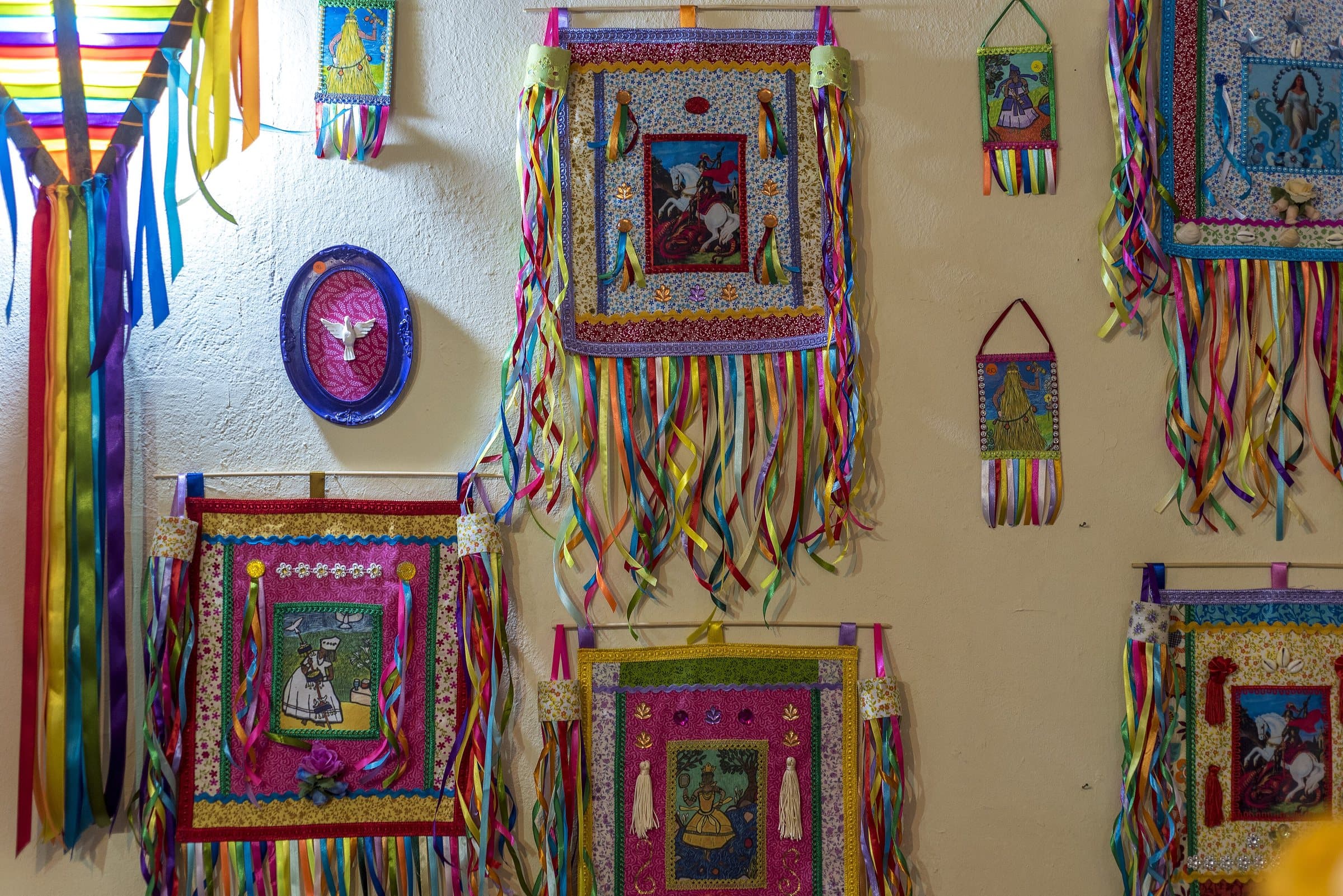
The Território Kalunga brings together 39 communities formed by descendants of enslaved Africans who built forms of autonomy and resistance in the interior of the Cerrado. They are spread across Cavalcante, Teresina de Goiás and Monte Alegre de Goiás, within the Sítio Histórico e Patrimônio Cultural Kalunga.
Rivers, mountain ranges, farm plots, paths and places of celebration are part of this history. Remaining on the land made it possible to pass agricultural, culinary, religious and environmental knowledge down through generations. Elders play an important role in guiding families and in keeping the memory of the paths.
The word Kalunga has Bantu origins and different meanings, including associations with well-being and with the world of the ancestors. The meaning lived by the communities goes beyond a single translation. The Sussa, the festivals, the food and the cultivation of the land express this identity.
Recognition as a territory conserved by peoples and communities — TICCA — highlights the relationship between community life and the protection of nature. The election of a Kalunga mayor also marked the region's political representation.
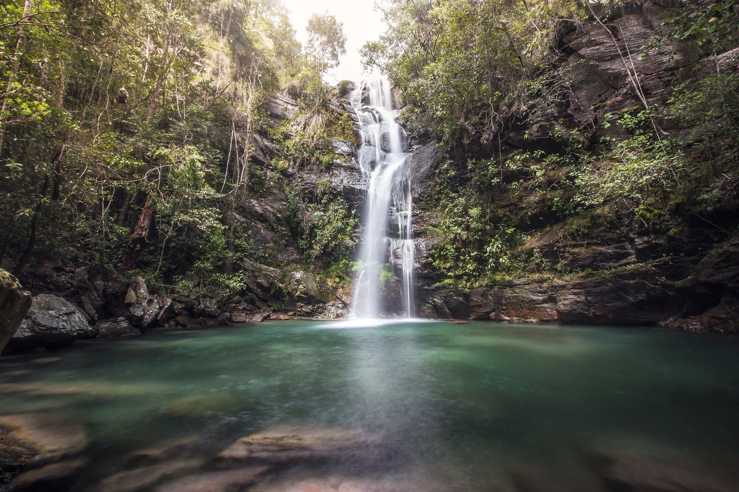
Engenho II organizes access to Santa Bárbara, Capivara and Candaru. In Vão do Moleque, Cachoeira do Guardião combines a walk, a canyon and clear water in the dry season. Each community has its own way of organizing visits.
Book through the community channels, hire the required guides and arrange meals before walking. Restaurants, shops and local products are part of the experience. Ask permission to photograph people, homes and celebrations, and respect the spaces residents use in daily life.
How each community organizes visits: community purchase channels, required guides, meals and permission to photograph people, homes and celebrations.
The entrance and parking do not have a confirmed point on this map yet. Arrange your arrival with the operator or local guide using the contacts on this page before planning your route.
Visitor recordings on Wikiloc help you get to know the route and its stops. Measurements are approximate and belong to the recorded track; elevation gain adds up the climbs or descents. Difficulty is the author’s own rating and may differ from the guide’s classification. Check current conditions with the attraction’s operator.
To overlay a route on the map above, download its GPX file from Wikiloc and open it in “Overlay a GPX trail”. Wikiloc may require you to log in to download the file.
Search Google for Território Kalunga routes published on Wikiloc ↗
Your rating and comment are private and saved to your account.
How your data is usedLoading…
Culture
© André Azevedo Praude · CC BY-SA 3.0
© Adelano Lázaro · Public domain
© Junio Antunes · CC BY-SA 4.0
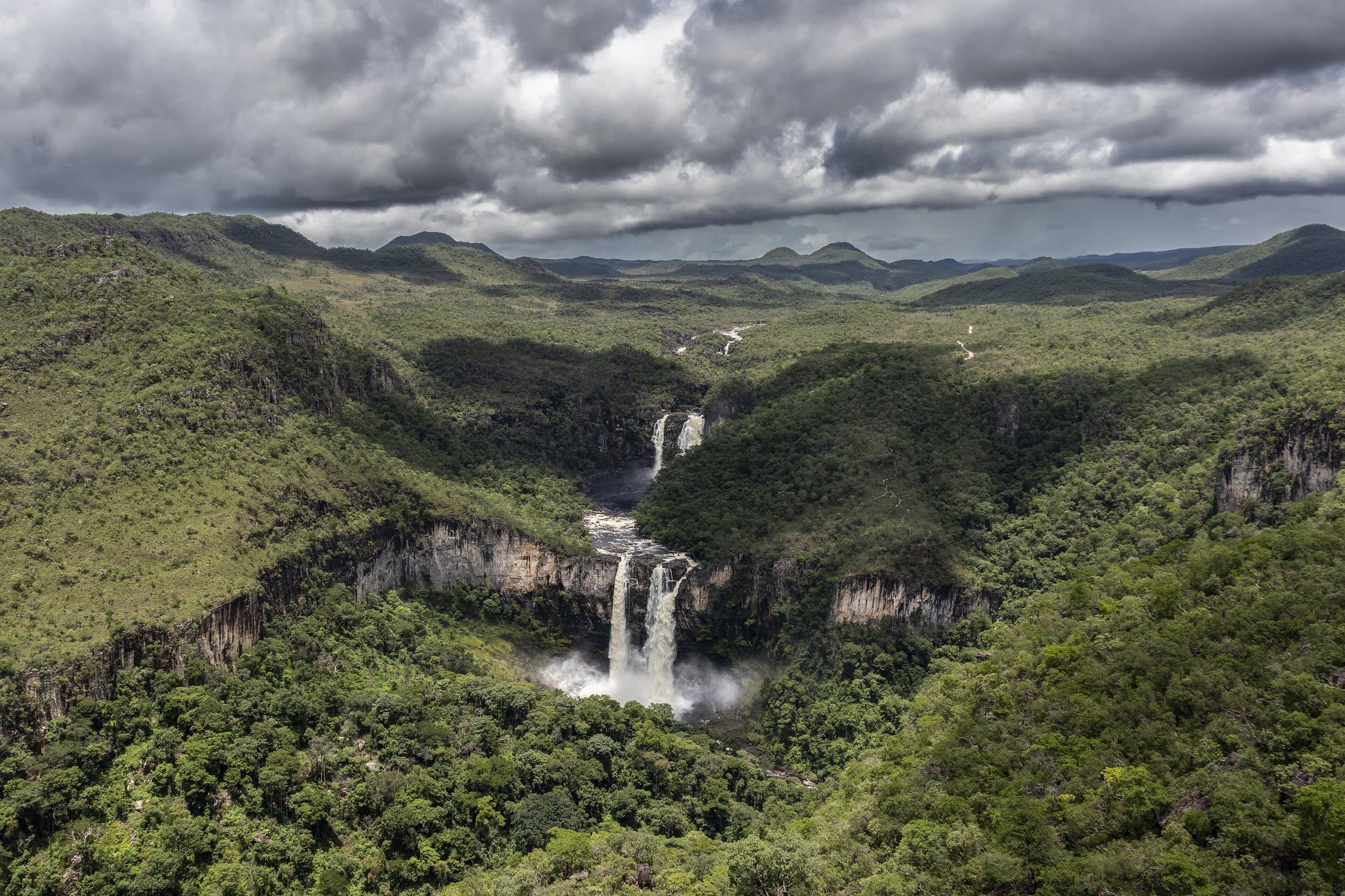
Chapada dos Veadeiros: a protected area for rare and endemic species of Cerrado flora and fauna.
For your safety: hire a guide.
Natural Heritage of Humanity — UNESCO since 2001
Voted the best national park in Brazil twice by TripAdvisor
More than 120 in Alto Paraíso de Goiás alone