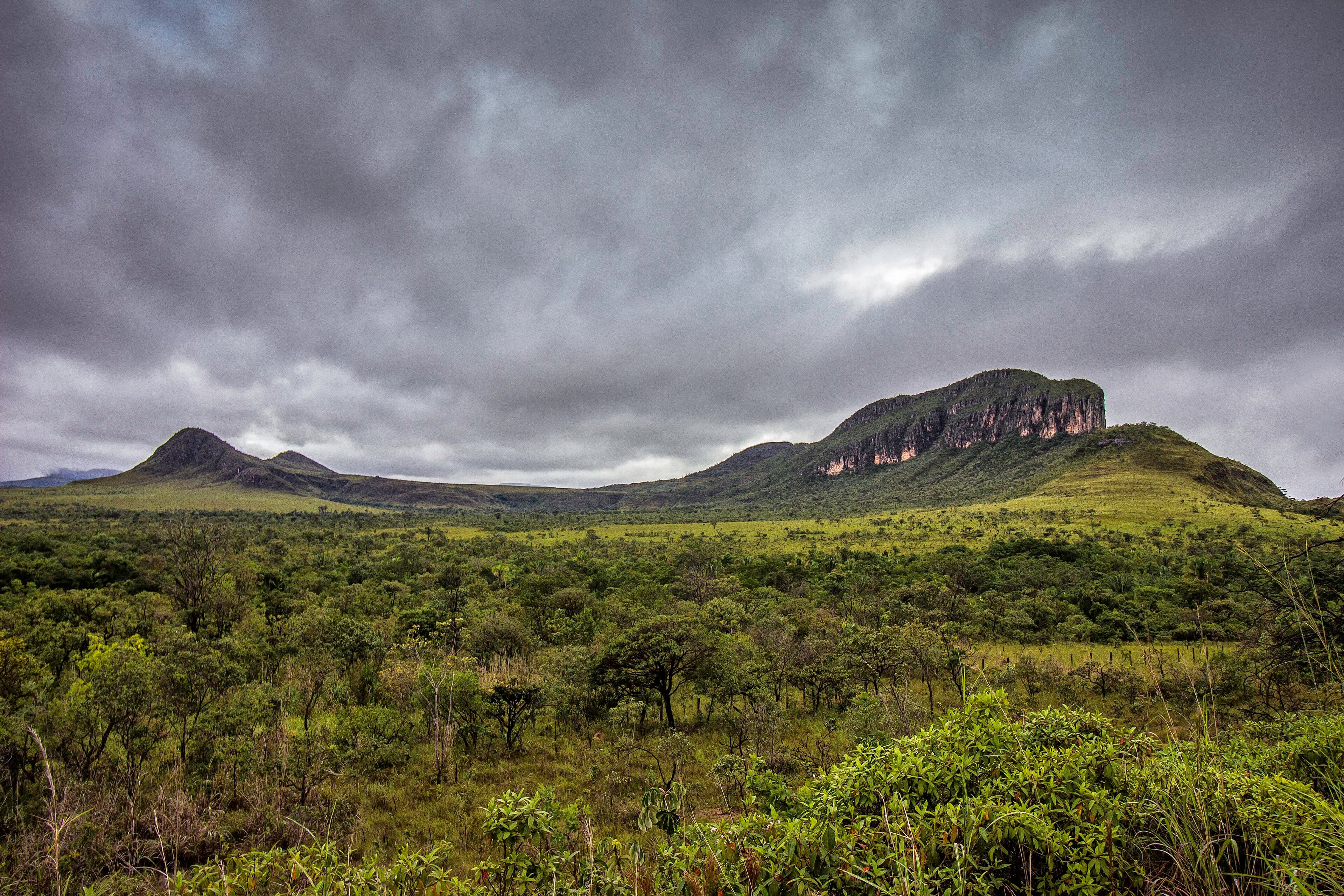
Between Vila de São Jorge and the Bar do Mirante, on the access road to Chapada dos Veadeiros National Park, west of the village and north of the GO-239.
Between Vila de São Jorge and the Bar do Mirante, on the access road to Chapada dos Veadeiros National Park, west of the village and north of the GO-239.
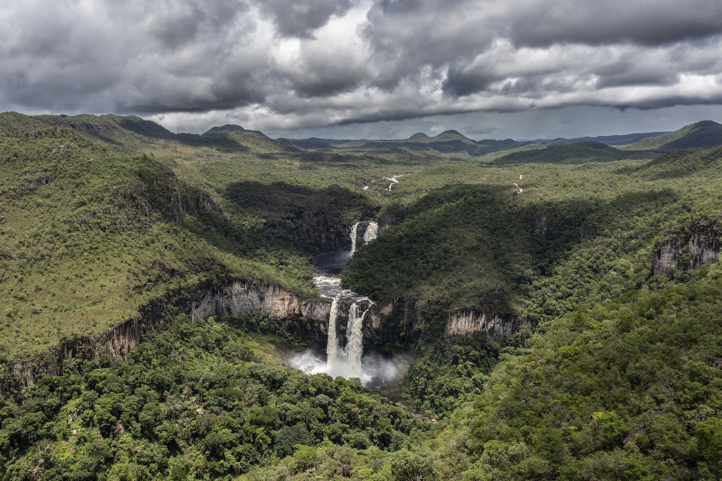
The Mirante da Janela frames the Salto de 80 metros and the Salto de 120 metros between rocks that form a triangular opening. The image has become a symbol of the Chapada, but the path requires preparation: there are changes in elevation, rocky stretches and sun exposure. Structures such as handrails and walkways make specific passages easier without removing the difficulty.
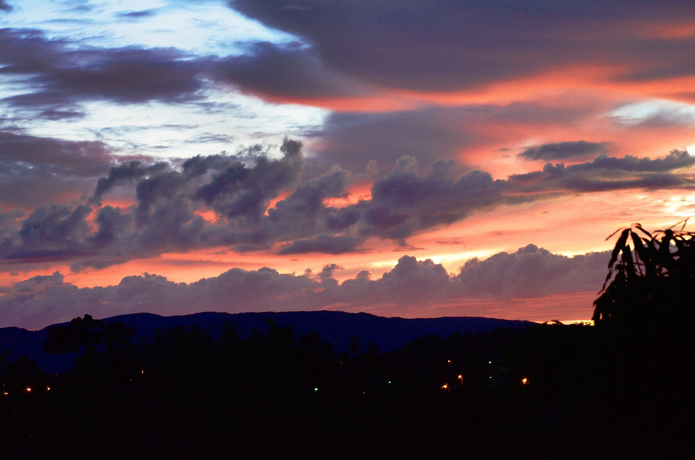
An upper viewpoint offers another perspective on the valley and on the area associated with the last artisanal mining sites. In high season, there may be a line at the most photographed spot. Do not step past edges or improvise positions to get other people out of the frame. Sunrise or sunset outings must respect the authorization and access hours.
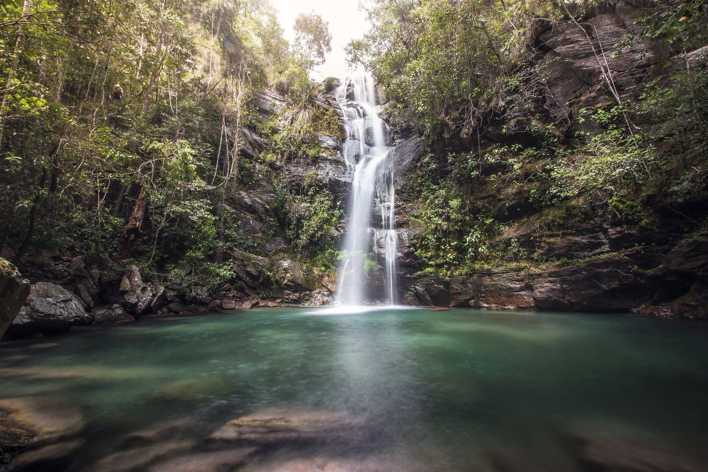
Along the way, the Cachoeira do Abismo is a set of small seasonal falls, present mainly during the rains.
To arrange the visit, use the contact (62) 98464-6988.
Hiking effort
Very intenseSustained effort, rugged terrain, traverses and overnight expeditions. For experienced people, with equipment and guiding suited to the itinerary.
Arriving by car
Take care on the access roadThere is a rural or dirt stretch, uneven ground, a long drive or incomplete information about the vehicle needed. This does not mean 4×4 is required.
Local guide
Depends on the route
Historical price range
R$ 31 to R$ 50
Prices and bookings
Confirm the price and what is included when booking.
The historical range helps compare outings; it is not the current rate and does not necessarily include a guide or transportation.
Getting there by car
Final dirt stretch near São Jorge, with uneven spots that call for low speed. Confirm the trailhead and whether your car can get through after rain.
Guiding
A guide is recommended for daytime visits and mandatory for the authorized sunrise and sunset times. Arrange the time and entry clearance.
The route
effort: intense — 'the path requires preparation: there are changes in elevation, rocky stretches and sun exposure'; handrails and walkways 'make specific passages easier without removing the difficulty'.
When to go
Confirm that it is open and the hours, including for sunrise or sunset. In high season, there may be a line at the viewpoint.
Plan your visit
That day’s operation; authorization and access hours for sunrise or sunset outings.
Precautions on site
Do not step past edges or improvise positions to get other people out of the frame. The path requires preparation: changes in elevation, rocky stretches and sun exposure.
The green markers show where to start the visit. Check each point’s type: a property reference marks the establishment, not the parking spot or the exact trailhead.
Parking
Mirante da Janela parking area · 4×4
The listing identifies this parking area as 4×4 access. Confirm with the ticket office where to leave your vehicle; regular cars may need to stop earlier.
Location reference · checked Sep 15, 2026. Follow local signs when you arrive.
The place, the terrain and the trails
Preparing the Chapada map…
Weather at this place
Loading forecast…
Community routes
Visitor recordings on Wikiloc help you get to know the route and its stops. Measurements are approximate and belong to the recorded track; elevation gain adds up the climbs or descents. Difficulty is the author’s own rating and may differ from the guide’s classification. Check current conditions with the attraction’s operator.
To overlay a route on the map above, download its GPX file from Wikiloc and open it in “Overlay a GPX trail”. Wikiloc may require you to log in to download the file.
Partial curation; sorting only covers the routes listed here.