


Chapada dos Veadeiros
Vila de São Jorge
Gateway to the National Park
Image credit: ThiagoALacerdaCC BY-SA 4.0
Gateway to Chapada dos Veadeiros National Park, Vila de São Jorge is one of the main bases for exploring the region. It is a place for those who want more tranquility and contact with nature. The village is full of shops — craftwork above all — along with restaurants, guesthouses, campsites, bars and a crowd connected to nature.
History and paths
The history of São Jorge is tied to quartz crystal mining. The crystal deposits were discovered in 1912. Demand grew during World War II, when the material was used in communication equipment. Prospectors and their families formed a village amid the mining and trading activity.
The Garimpão fire, in 1950, appears as an important episode in the settlement of the area. The community was known by names such as Baixa dos Veadeiros, Planada da Baixada and Baixada da Égua before São Jorge became established. With the fall in crystal prices and changes in land use, prospecting lost ground and the relationship with the National Park gained importance.
The village was made official in 1961. In 1991, a guide training course opened up an alternative livelihood for former prospectors. The Associação de Condutores de Visitantes da Chapada dos Veadeiros (ACV-CV) took part in this transition to tourism.
Today, the village is a base for exploring the park and the attractions of the São Miguel valley. The memory of crystal lives on in residents’ stories, in the paths and in the transformation of local work.
Landmarks
- Tourist Service Center (CAT)View on map →
A visitor support point for information about tours, local guides and local advice.
- Praça do ArtesãoSearch Google Maps ↗
A village square linked to local crafts, near the tourist service point and the sports court.
- Capela de São JorgeSearch Google Maps ↗
A small church dedicated to Saint George, a religious landmark for the village and its community.
- Casa de Cultura Cavaleiro de JorgeSearch Google Maps ↗
A cultural center that promotes traditional cultures, with music, gatherings and artistic activities.
- ASJORSearch Google Maps ↗
Associação Comunitária da Vila de São Jorge: residents working together on social, cultural and environmental projects for the community.
- Parque Municipal do PreguiçaSearch Google Maps ↗
A municipal green area marked north of the village. Confirm access and visiting conditions on site.
- Mirante da JanelaView on map →
A natural viewpoint reached by trail, known for framing the Rio Preto falls between rocks.
Places without a confirmed location open a Google Maps search by name and town.
Vila de São Jorge
Explore the numbered places
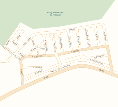
Hover over a place in the list or on the map to learn more. You can also use Tab.
Streets and positions: VisitVeadeiros municipal map. Numbers match the list; arrows indicate destinations outside this view.
Waterfalls and attractions
(23)
Landscape
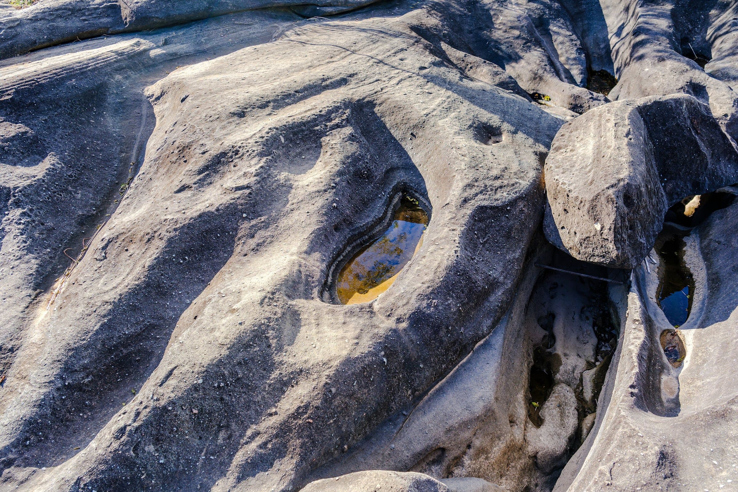
Valley of the Moon
Image credit: RebeloZeroCC BY-SA 4.0
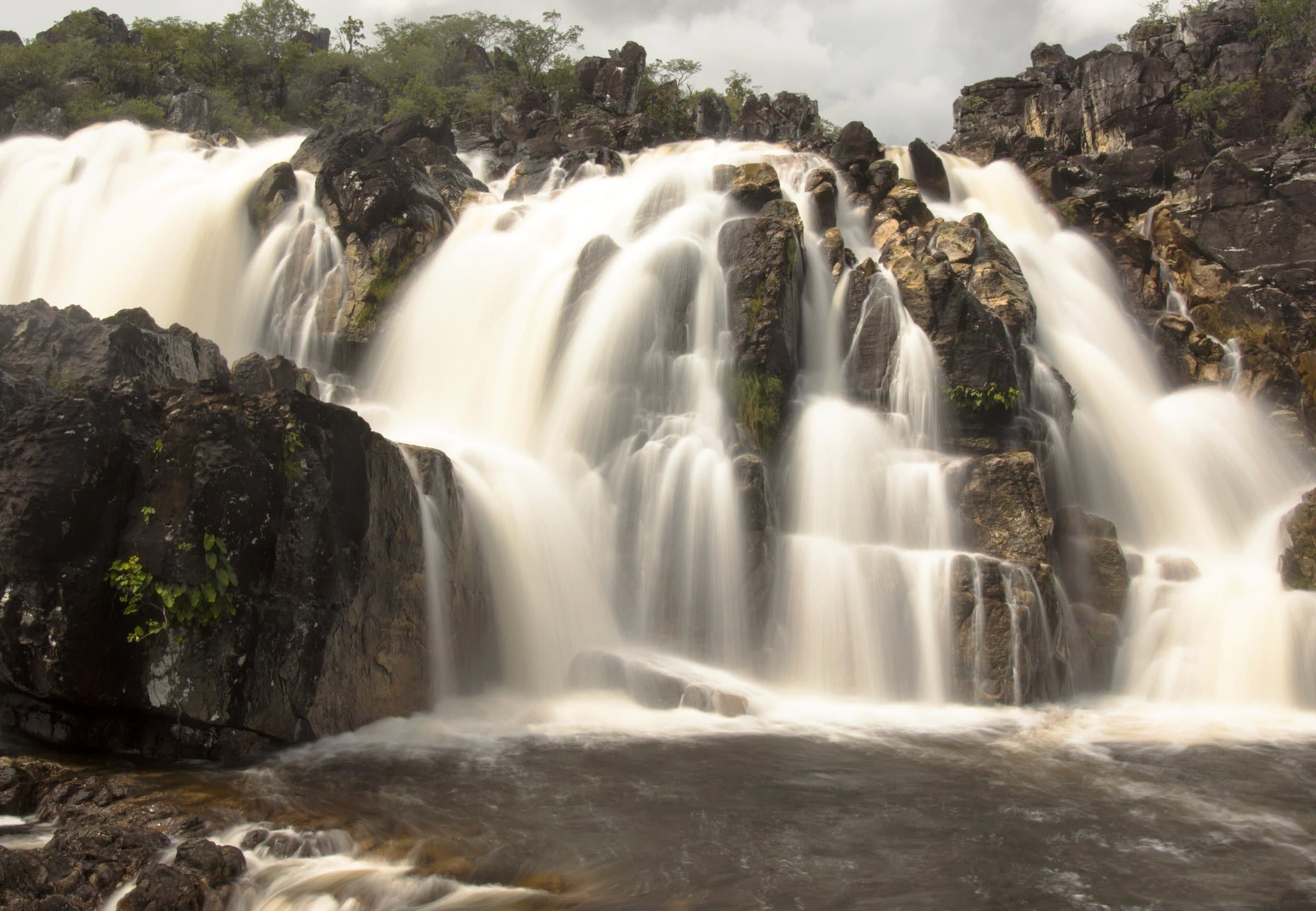
Adventure
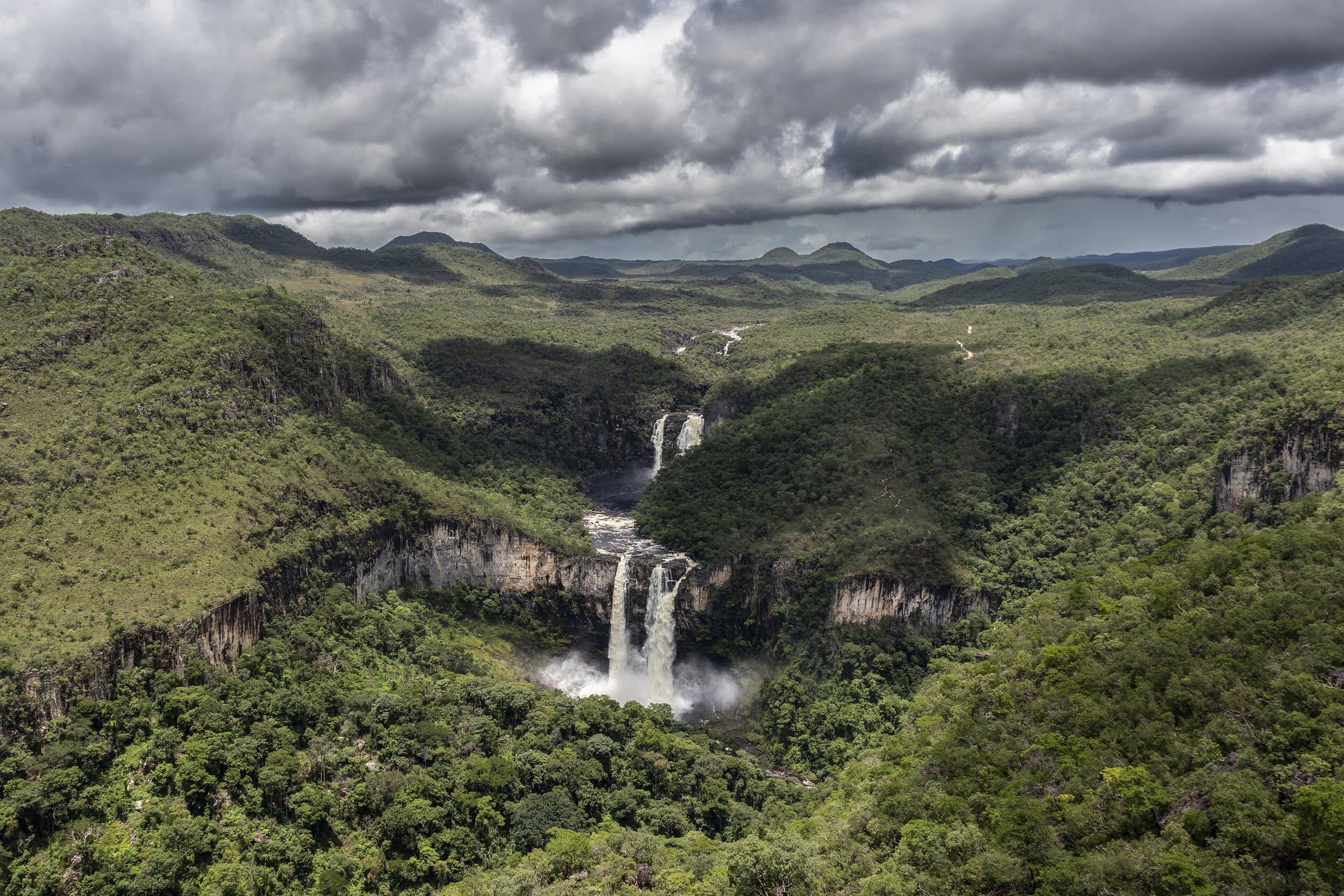
Cariocas Waterfall
Image credit: Lucia Carvalho HortaCC BY-SA 4.0
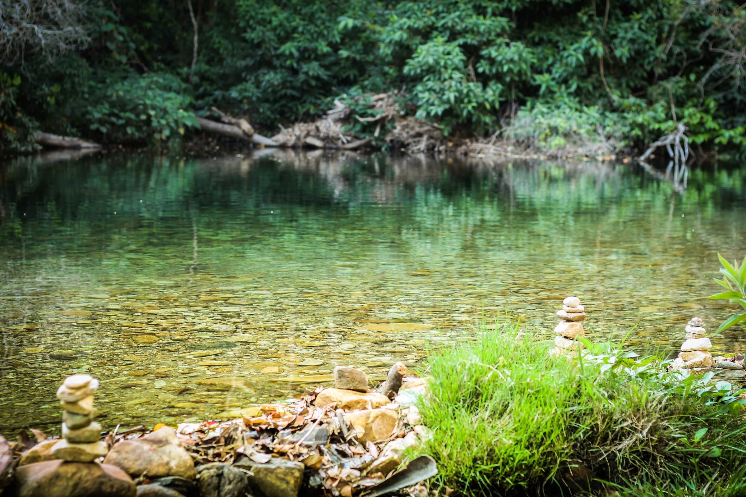
Waterfall
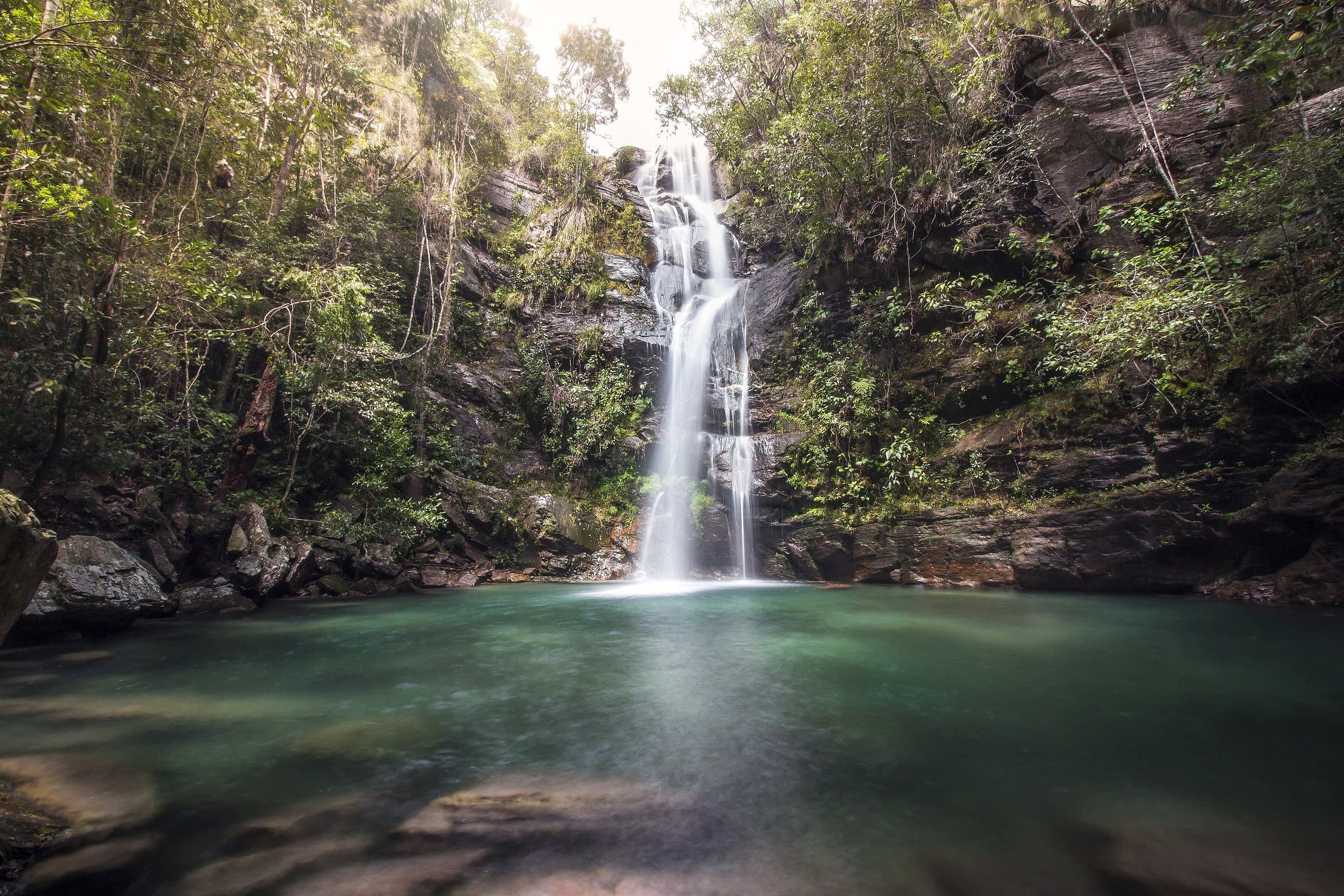
Secret Waterfall
Image credit: Leonardo GhizoniCC BY-SA 4.0
- Window LookoutViewpoint
- Chapada dos Veadeiros National ParkPark
- Santuário Ecológico RaizamaCanyon
- Morada do SolComplex
- Travessia das Sete QuedasAdventure
- Saltos, Carrossel e CorredeirasAdventure
- Vale das PedrasLandscape
- Poço das EsmeraldasWaterfall
- Travessia São Jorge–CapelaAdventure
- Trilha da SeriemaAdventure
- Visitação noturna do Parque NacionalAdventure
- Cachoeira do AbismoWaterfall
- Fazenda Volta da SerraComplex
- Cachoeira do CordovilWaterfall
- Cachoeira do EncontroWaterfall
- RodeadorLandscape
- Cachoeira São Miguel (Caminho da Lua)Waterfall
- Cachoeira do LajeadoWaterfall
- Praia do JatobáLandscape
- Paralelo 14Culture
- Shops
O Senhor das Trilhas
Hiking and camping gear
Rua Guariroba
- Attractions
Santuário Fazenda Volta da Serra
Waterfalls • coffee and honey production
GO-239, Km 74, sentido Alto Paraíso