
São João d’Aliança
- from Goiânia
- 356 km
- from Brasília
- 154 km
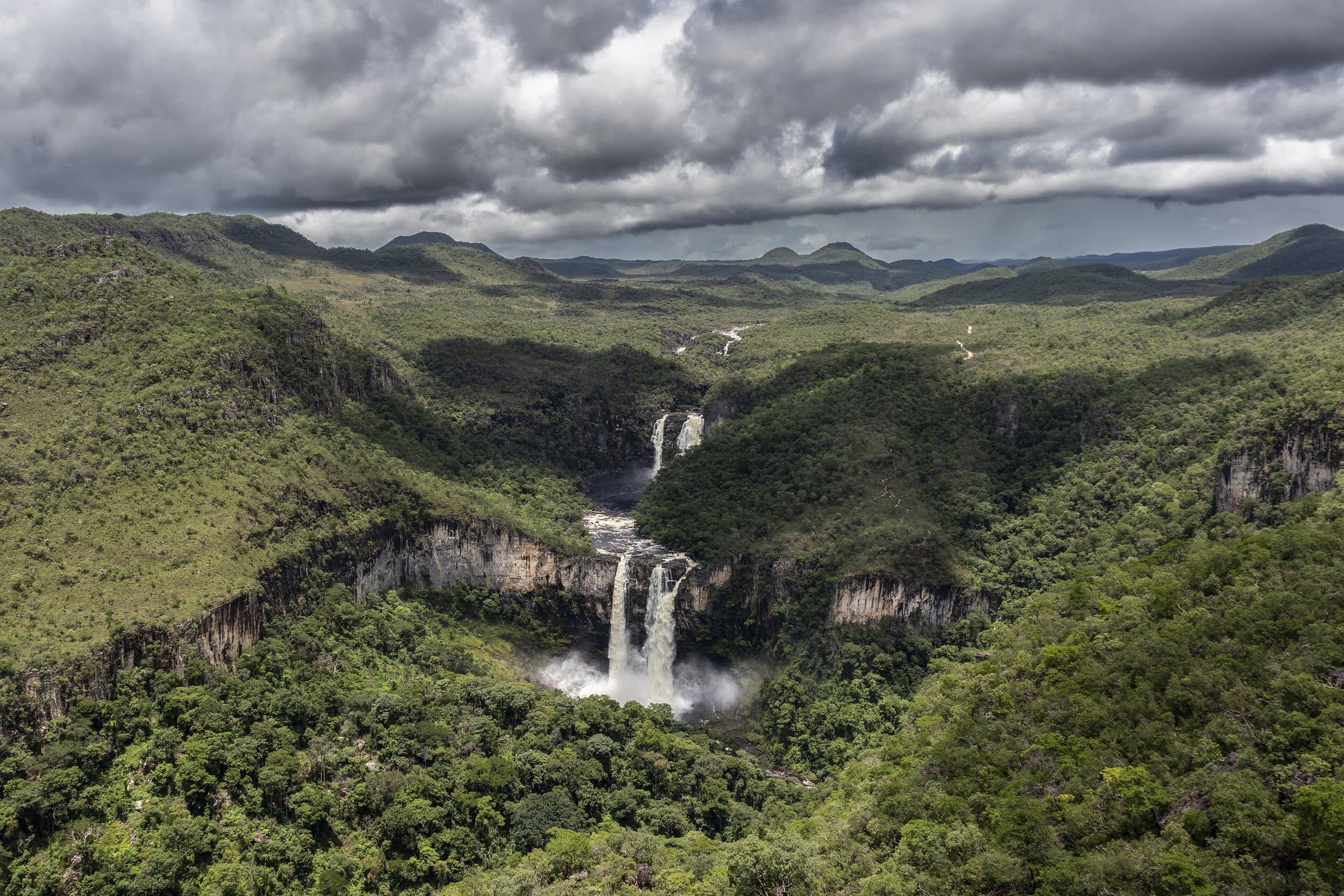
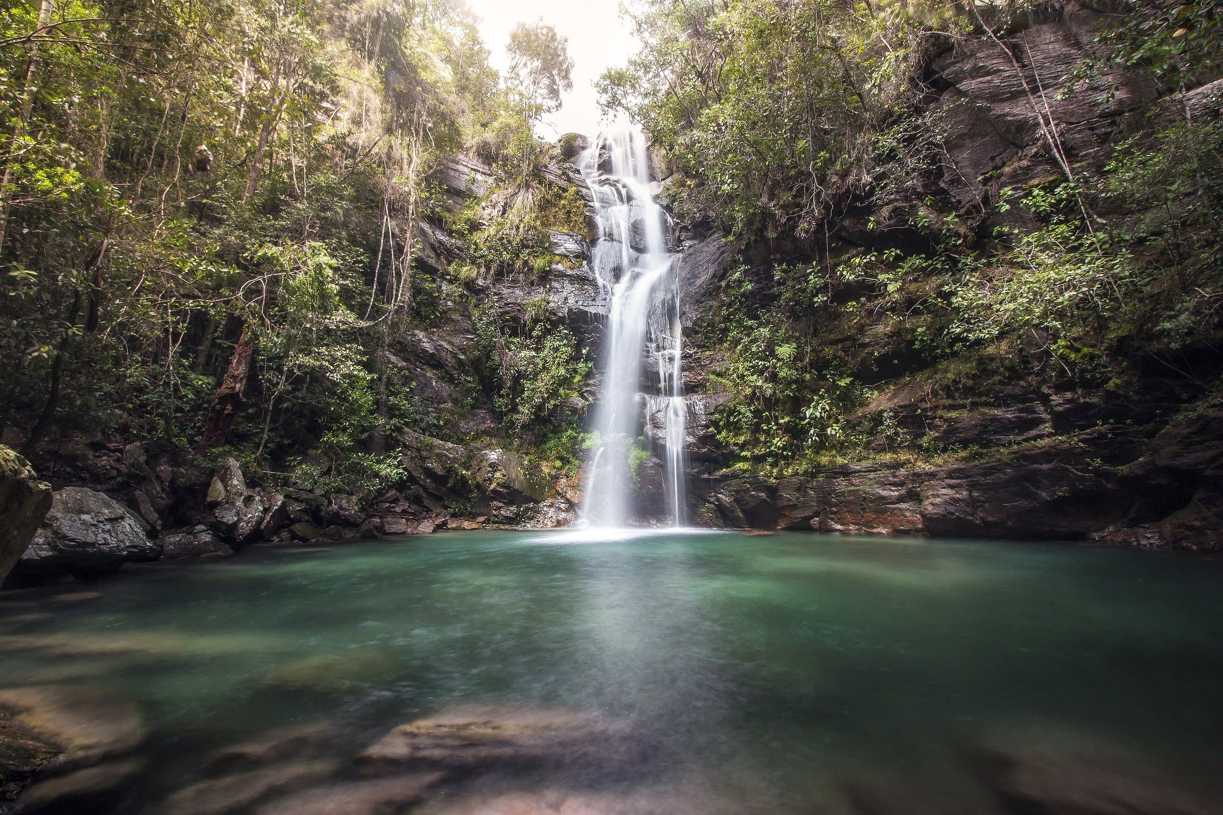
The southern gateway to Chapada dos Veadeiros, São João d’Aliança brings together waterfalls, canyons and the memory of the Forte settlement. The guide presents Label, the Complexo do Macaco, Macaquinhos and the Bocaina do Farias among the ways to get to know the region.
History and paths
São João d’Aliança is a gateway to the Chapada for travelers arriving from Brasília on GO-118/BR-010. The Serra Geral do Paranã and the contrast between the highlands and the valley shape the landscape, with altitudes of approximately 600 to 1,200 meters.
Olhos d’Água and Capetinga are names linked to the founding of the village. In 1910, the settlement had only a few houses and a chapel dedicated to Saint John the Baptist. In local memory, Capetinga is associated with a watercourse and the idea of clear water.
The Prestes Column passed through the region in 1926. The Liberal Alliance, formed in 1929, belongs to a different moment in political history. The municipality was created on April 22, 1931, incorporated into Formosa in 1939 and regained its autonomy on October 1, 1953.
Manganese mining, rural production and tourism mark its economic history. Large waterfalls, canyons and circuits away from the highway invite you to set aside more time for the region. The village of Forte, made official in 1862, once concentrated administration, justice, the post office and a school for a vast area between Formosa and Cavalcante.
Landmarks
- ForteView on map →
A historic village in São João d’Aliança, tied to the rural memory of the region and the landscapes of the Serra Geral.
- Cachoeira do LabelSearch Google Maps ↗
A large waterfall in São João d’Aliança, reached by a trail on a property with organized visits.
- Bocaina do FariasSearch Google Maps ↗
An area of canyons and streams in São João d’Aliança, with tours that require planning how to get there.
Places without a confirmed location open a Google Maps search by name and town.
Waterfalls and attractions
(13)
Complex
Macaquinhos
Image credit: José Ricardo Ribeiro ReisCC BY-SA 4.0
- Dragon WaterfallWaterfall
- Label WaterfallWaterfall
- Cathedral WaterfallWaterfall
- Coca Cola CanyonWaterfall
- Bocaina do FariasCanyon
- ForteCulture
- Cachoeira das AndorinhasWaterfall
- Complexo do MacacoComplex
- Complexo VeadeirosComplex
- Cachoeira do CantinhoWaterfall
- Paraíso dos CactosComplex
- Cachoeira do BonitoWaterfall