Between Vila de São Jorge and the Bar do Mirante, on the access road to Chapada dos Veadeiros National Park, west of the village and north of the GO-239.
Between Vila de São Jorge and the Bar do Mirante, on the access road to Chapada dos Veadeiros National Park, west of the village and north of the GO-239.
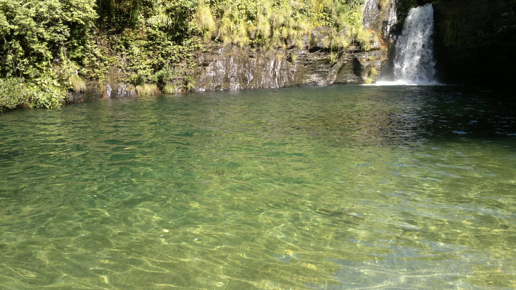
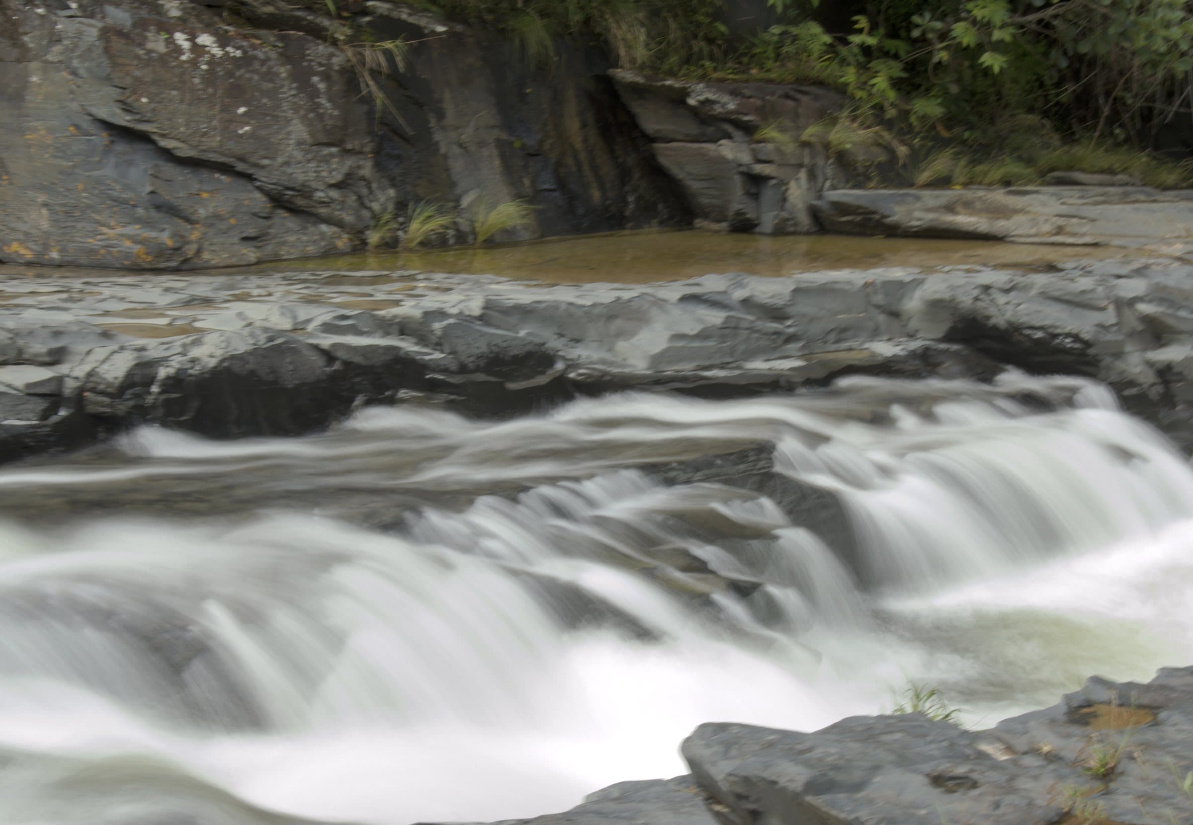
Rio Prata is approximately 65 km from Cavalcante, a drive that on its own calls for setting aside plenty of time on the road. The complex is known for pools of very clear water, falls, rock slabs and paths through open vegetation, with strong sun exposure.
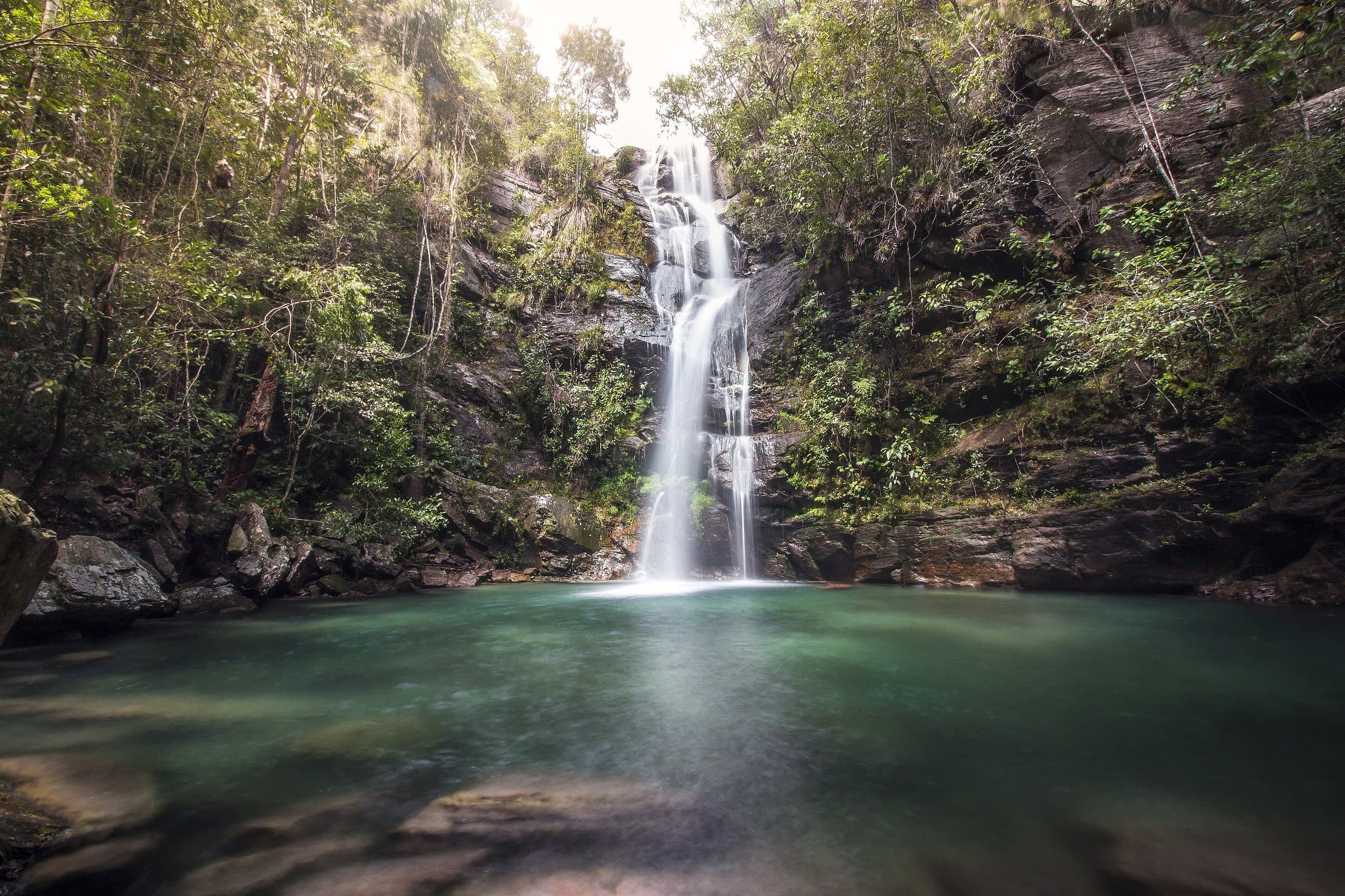
There are seven main spots: Pratinha, Três Marias, Cortina, Esmeralda, Passador or A5, Rei and Rainha. Morada do Sol, Vale de Marte and Príncipe appear as other names in the complex. Itineraries can combine different falls and pools.
The route to Rei do Prata is given as about seven kilometers. The greenish pool is one of the highlights in the dry season. Rainha requires extra effort and offers a view from above the valley, which should not be mistaken for easy access to swimming. Plan your return based on the farthest point you actually choose.
Between the fifth and sixth attractions there are camping and chalet options. Dinner and breakfast must be arranged in advance. Staying overnight can make the visit less rushed, but requires a booking and confirming which services are operating.
Confirm the entrance gate, local guide, lodging and road conditions.
Hiking effort
IntenseA longer, steeper or more technical route, with rocks, water crossings and a possible overnight stay. Requires fitness and planning suited to the activity.
Arriving by car
Difficult accessSignificant obstacles, steep ramps, trouble for low cars or 4×4 logistics. Check the listing to see whether this applies to the whole access or only the final stretch. High clearance and 4×4 are different things.
Historical price range
R$ 51 to R$ 100
Prices and bookings
Confirm the price and what is included when booking.
The historical range helps compare outings; it is not the current rate and does not necessarily include a guide or transportation.
Getting there by car
Approximately 60 km of dirt road, with rough stretches, limited signage and a final section that is difficult for low-clearance cars. Consider a higher-clearance vehicle or local transportation and confirm access; this does not mean 4×4 is a permanent requirement.
The route
About 7 km to Rei do Prata; the return and side trips to other spots need to be part of your planning.
When to go
The greenish pool is one of the highlights in the dry season.
Plan your visit
Entrance gate, local guide, lodging (camping and chalets between the fifth and sixth attractions; dinner and breakfast by prior arrangement) and road conditions.
Precautions on site
Strong sun exposure. Rainha offers a view from above the valley, which should not be mistaken for easy access to swimming. Plan your return based on the farthest point you actually choose.
The green markers show where to start the visit. Check each point’s type: a property reference marks the establishment, not the parking spot or the exact trailhead.
Reception
Official entrance to Complexo Rio Prata
Start at the official entrance. Agree with the reception and the guide on which internal stretches can be driven; the waterfalls are farther ahead.
Location reference · checked Sep 15, 2026. Follow local signs when you arrive.
The place, the terrain and the trails
Preparing the Chapada map…
Weather at this place
Loading forecast…
Community routes
Visitor recordings on Wikiloc help you get to know the route and its stops. Measurements are approximate and belong to the recorded track; elevation gain adds up the climbs or descents. Difficulty is the author’s own rating and may differ from the guide’s classification. Check current conditions with the attraction’s operator.
To overlay a route on the map above, download its GPX file from Wikiloc and open it in “Overlay a GPX trail”. Wikiloc may require you to log in to download the file.
Partial curation; sorting only covers the routes listed here.