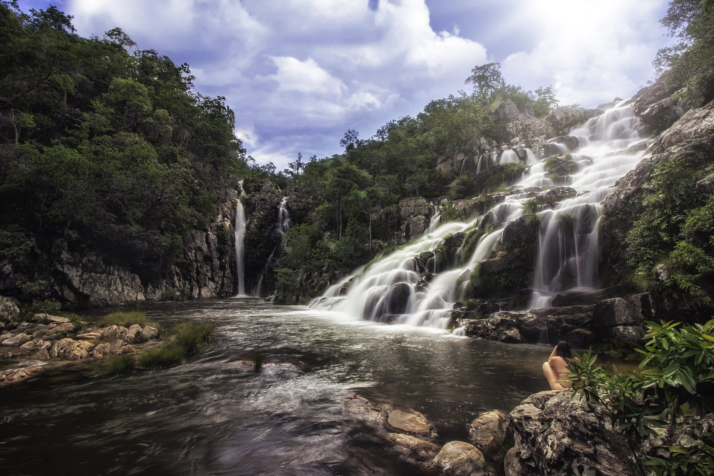
WaterfallNear Teresina de Goiás
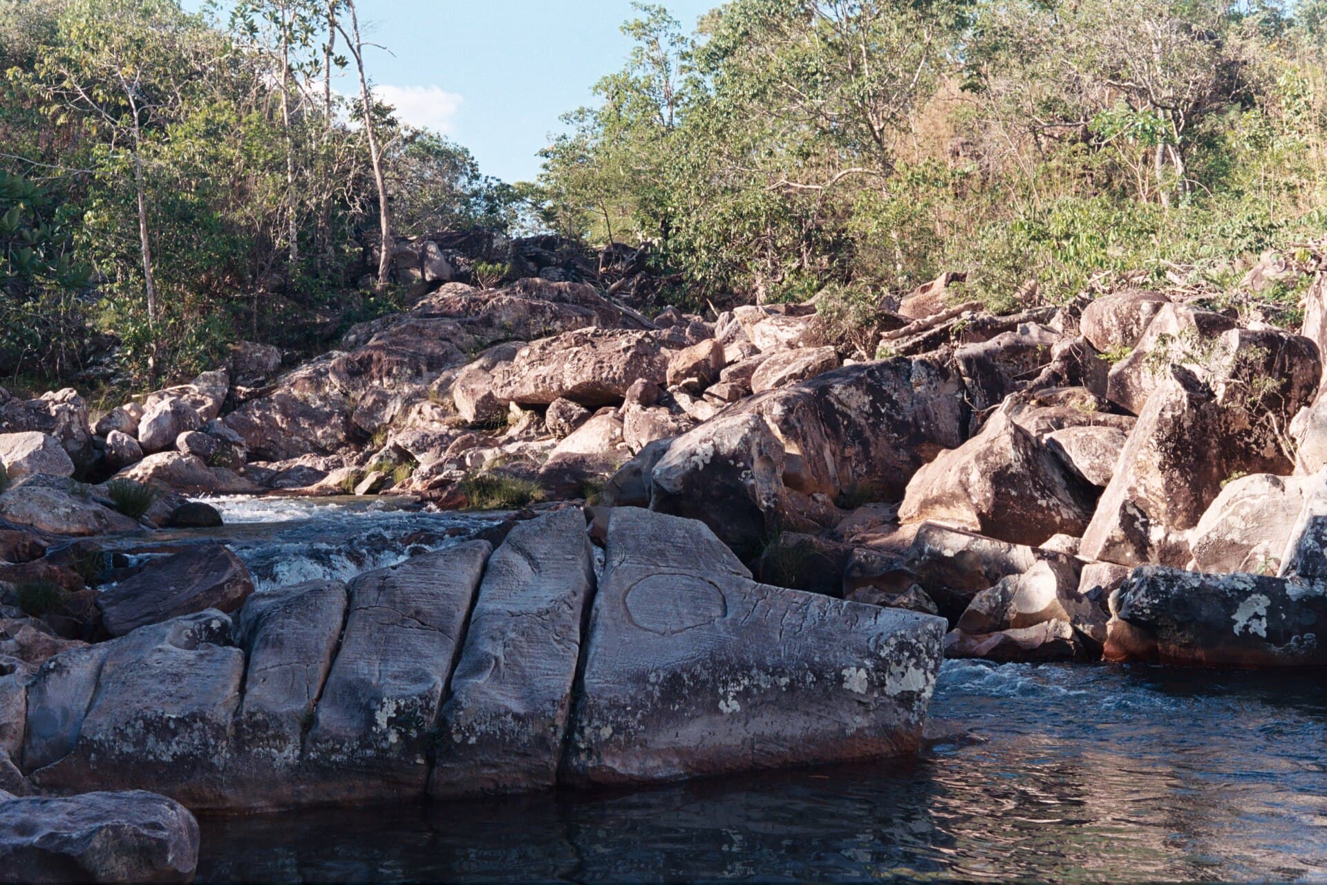
© Emermattoso · CC BY-SA 3.0
Build your trip
Save waterfalls, trails and guesthouses as you browse, and build your own route through the Chapada.
The stay
Between Vila de São Jorge and the Bar do Mirante, on the access road to Chapada dos Veadeiros National Park, west of the village and north of the GO-239.
 Vila InfinitoExperiential Chalets
Towns and villages
Culture
 Towns and villagesCavalcanteImage credit: Carlos Ebert from São Paulo, BrazilGRU · CC BY 2.0
Build your trip
Save waterfalls, trails and guesthouses as you browse, and build your own route through the Chapada.
 ViewpointWindow LookoutImage credit: ThiagoALacerda · CC BY-SA 4.0
The stay
Between Vila de São Jorge and the Bar do Mirante, on the access road to Chapada dos Veadeiros National Park, west of the village and north of the GO-239.
 Towns and villagesVila de São JorgeImage credit: MTur Destinos · Public domain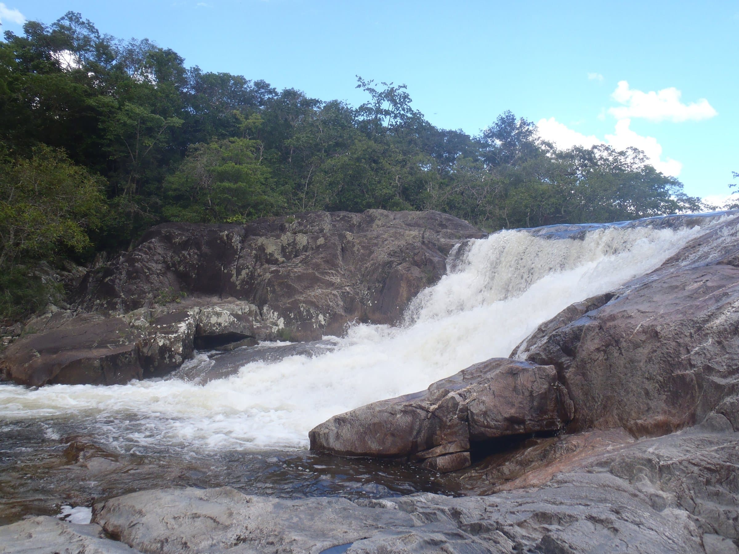
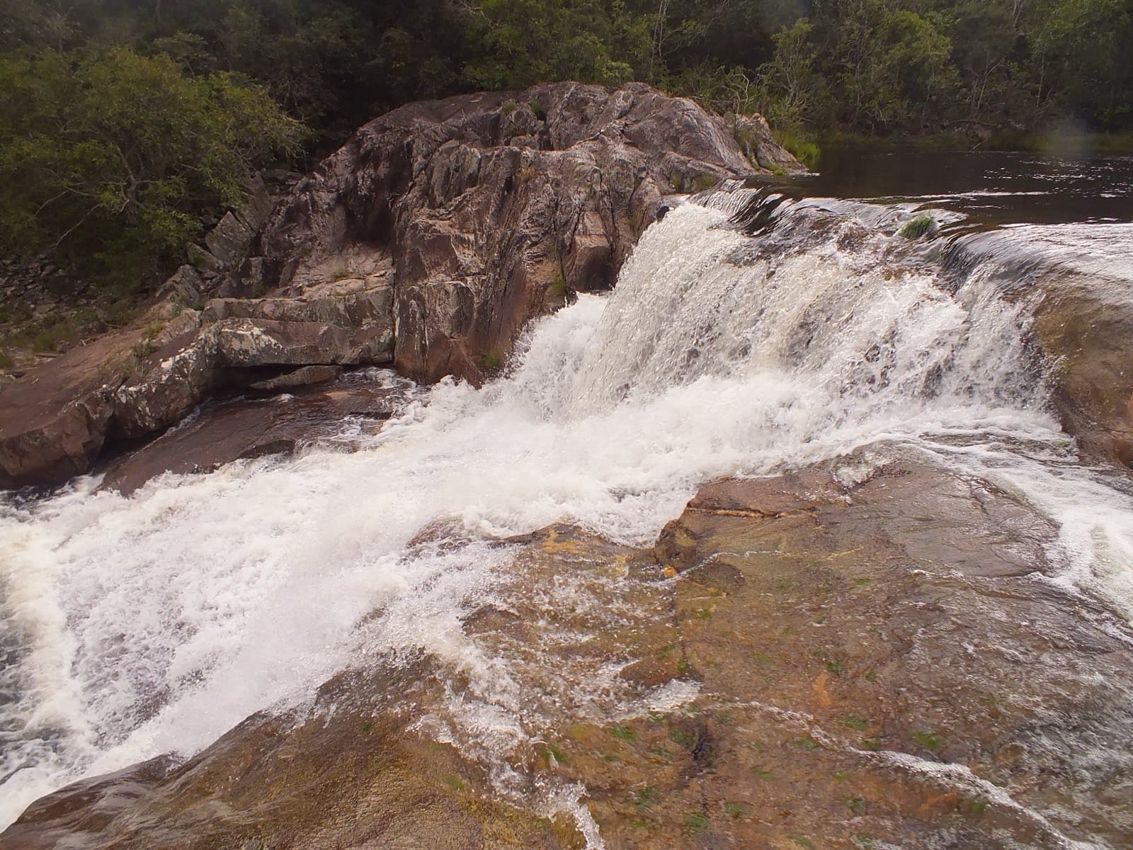
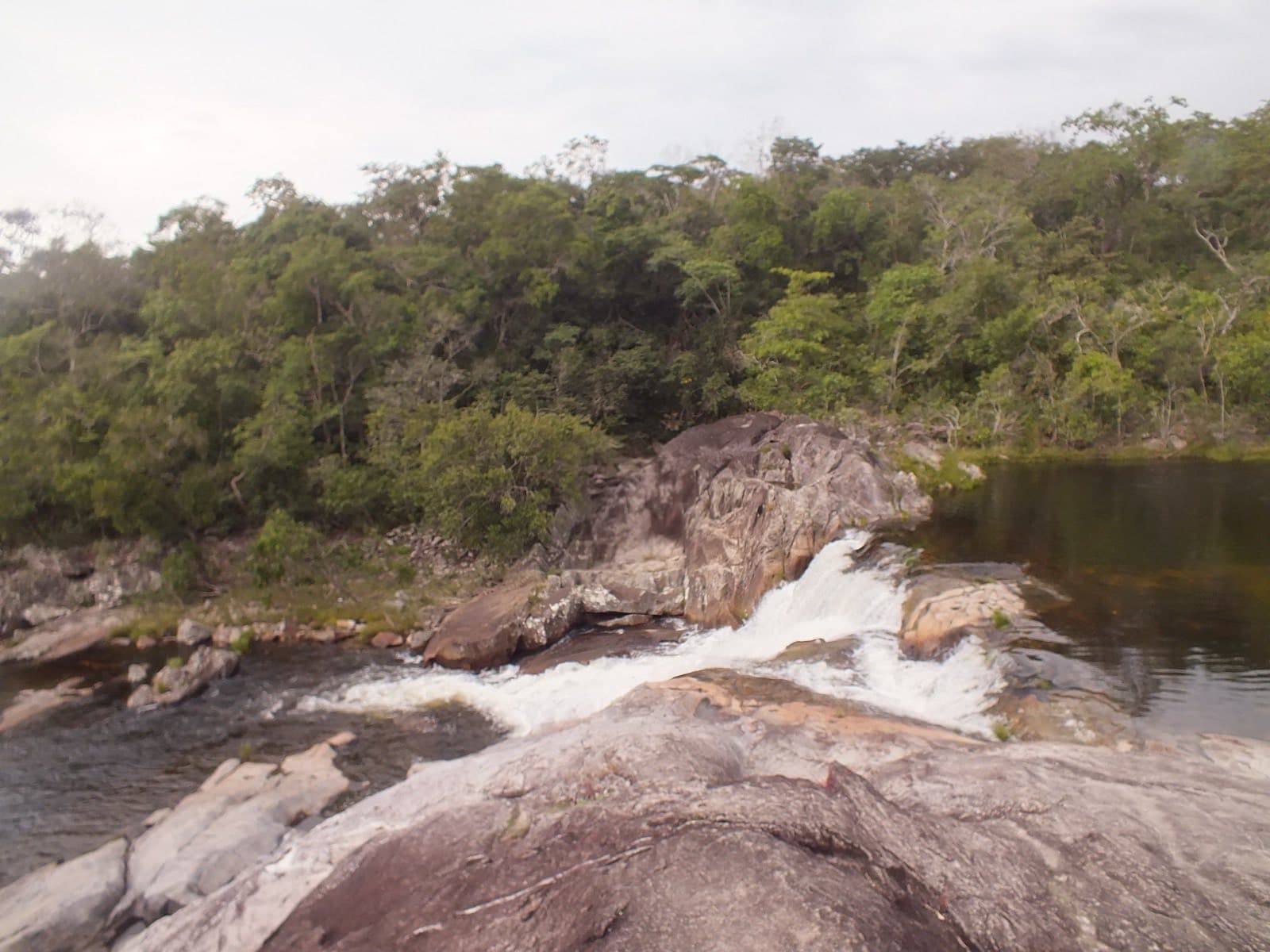
Image creditAndré Azevedo PraudeCC BY-SA 3.0Wikimedia Commons
Waterfall
Near Cavalcante
Pets
We have not found a confirmed public policy for this visit. Contact the operator before bringing your pet.
Destination: Pousada Vale das Araras, Cavalcante
Two nearby bases among the guide’s seven towns and villages. Measured from the town center; walking trails are not included.
Routes checked on Google Maps; the distance varies with the route chosen.
Reserva Vale das Araras sits on the Cavalcante–Colinas road, at approximately km 3. The reserve covers 54 hectares and has a network of about five kilometers of trails, with spots such as Poço do Buriti and Recanto das Pedras.
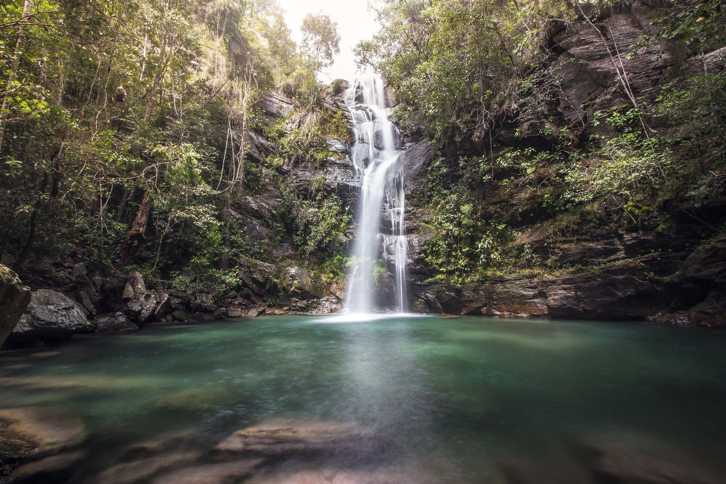
The walk to Cachoeira São Bartolomeu is given as approximately 1.8 km. The fall, about six meters high, sits in a shaded forest setting, with water suitable for swimming when swimming is allowed. Chalet lodging lets you stay on the property and plan the outing with more time.
Confirm whether day use, meals and trails are available to non-guests.
Confirm the price and what is included when booking.
The historical range helps compare outings; it is not the current rate and does not necessarily include a guide or transportation.
Entrance through Pousada Vale das Araras, approximately 3 km from Cavalcante on the road to Colinas do Sul. Confirm the road surface and whether low-clearance cars can reach reception.
Approximately 1.8 km to the waterfall, on an almost entirely shaded trail.
Confirm whether day use, meals and trails are available to non-guests.
Whether day use, meals and trails are available to non-guests; whether swimming is allowed.
The green markers show where to start the visit. Check each point’s type: a property reference marks the establishment, not the parking spot or the exact trailhead.
Property reference
The guesthouse's reference on the Cavalcante–Colinas road, km 3. Go to the reception to organize access to the circuit and the parking area.
Location reference · checked Sep 15, 2026. Follow local signs when you arrive.
Loading forecast…
Visitor recordings on Wikiloc help you get to know the route and its stops. Measurements are approximate and belong to the recorded track; elevation gain adds up the climbs or descents. Difficulty is the author’s own rating and may differ from the guide’s classification. Check current conditions with the attraction’s operator.
To overlay a route on the map above, download its GPX file from Wikiloc and open it in “Overlay a GPX trail”. Wikiloc may require you to log in to download the file.
Search Google for Cachoeira São Bartolomeu — Vale das Araras routes published on Wikiloc ↗
Your rating and comment are private and saved to your account.
How your data is usedLoading…
Waterfall
© Emermattoso · CC BY-SA 3.0
© Clara Goldenstein · CC BY-SA 3.0
© Aline Fortuna · CC BY-SA 4.0
© Aline Fortuna · CC BY-SA 4.0
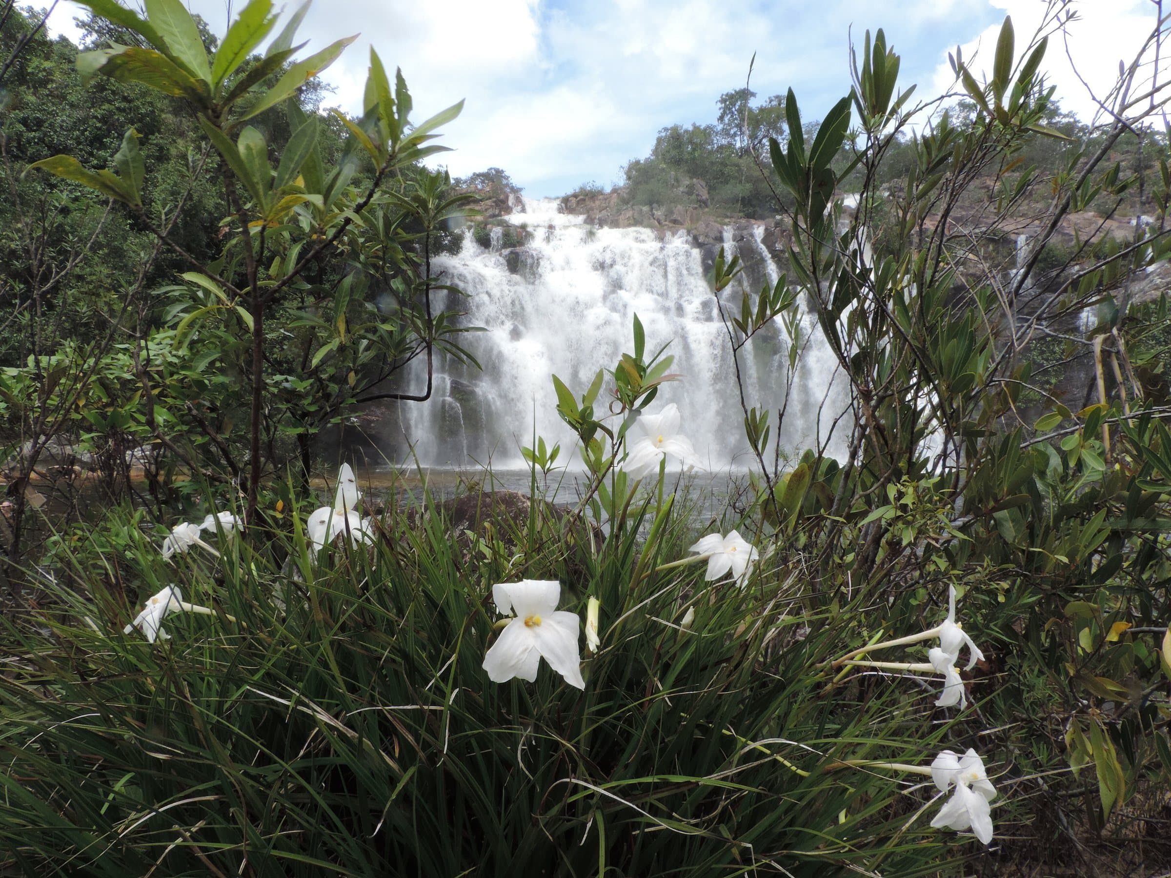
Chapada dos Veadeiros: a protected area for rare and endemic species of Cerrado flora and fauna.
For your safety: hire a guide.
Natural Heritage of Humanity — UNESCO since 2001
Voted the best national park in Brazil twice by TripAdvisor
More than 120 in Alto Paraíso de Goiás alone