
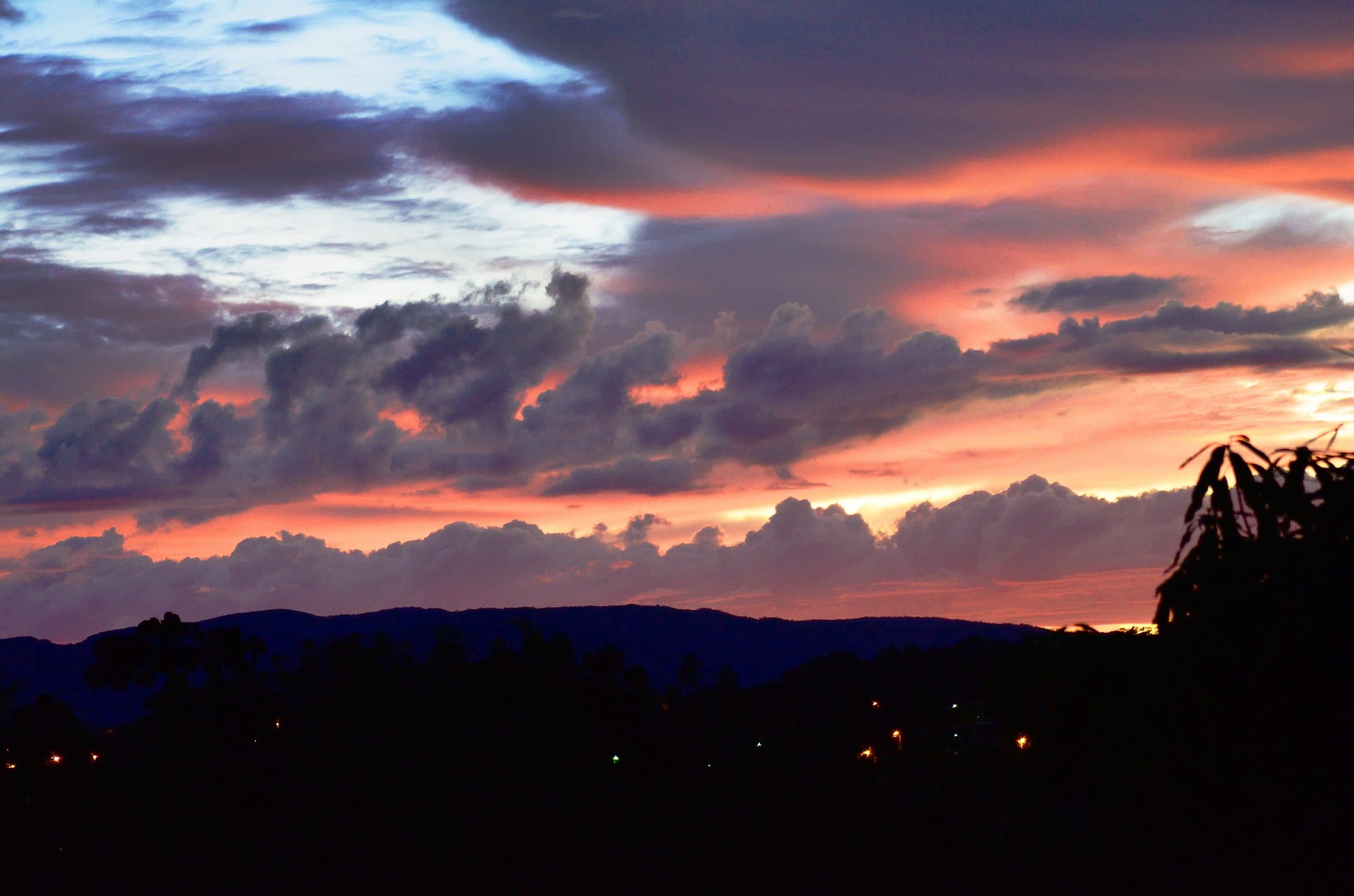
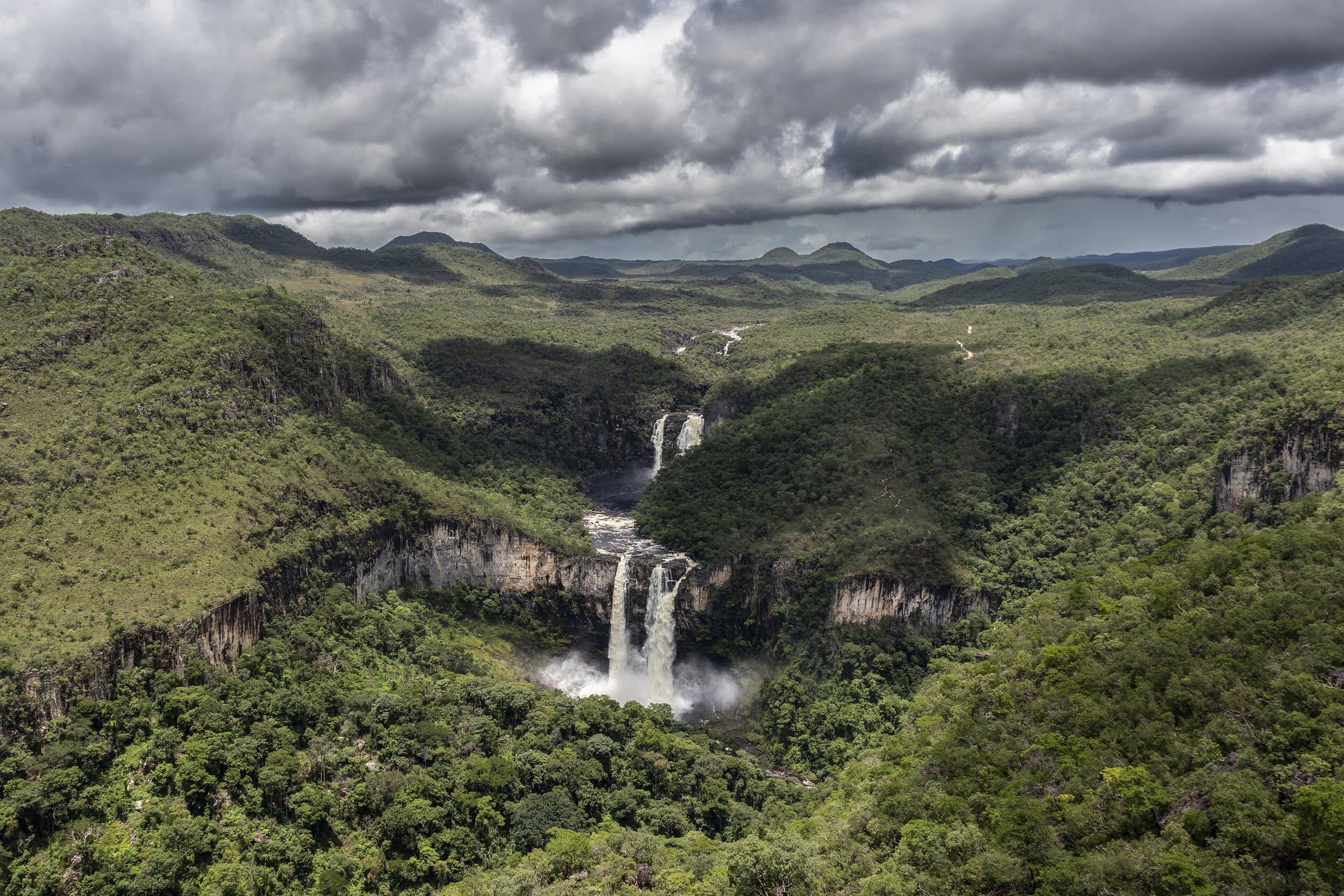
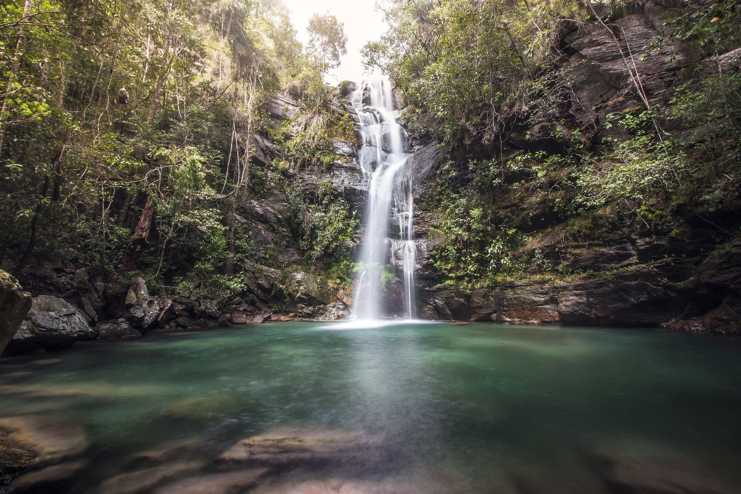
A landscape of many environments
Twisted trunks, thick bark, deep roots and flowers among the rocks reveal the Cerrado’s adaptations to water, soil, the seasons and fire. The biome covers about two million square kilometers in central Brazil and is the country’s second largest by area.
Its core spans Goiás, Tocantins and the Federal District. Cerrado formations also extend into other Brazilian regions. The landscape forms a mosaic: nearly treeless grasslands, rock-outcrop vegetation, veredas and forests can all appear on the same hike.
Recognize the vegetation on the trail
In open grasslands, grasses and other low plants dominate. Shrub grasslands add shrubs and small trees. Rocky grasslands spread among rock outcrops and shallow soils, with a great diversity of plants.
Sparse cerrado and mid-height cerrado have more widely spaced trees. Cerradão is taller and denser; in forested formations, some trees reach about twenty meters.
Veredas and wet grasslands depend on water close to the surface. Buriti palms help identify many of these areas, which are important for springs. Riparian forests line the riverbanks, while gallery forests can join their canopies over smaller streams. Mesophytic forests appear in other combinations of soil and moisture.
In the dry season, the gold of the grasses coexists with blooms and fruit. In the rainy season, the grasslands turn green and seasonal streams flow again. Observe these changes without removing flowers, seeds or stones.
Life that doesn’t always show
The Cerrado is home to endemic plants and animals, found only in certain regions. Grasslands, forests, veredas and rocks provide habitats for pampas deer, maned wolves, jaguars, anteaters, armadillos, tapirs, capybaras, monkeys and snakes. Rheas, seriemas, toucans and macaws are also part of this diversity.
Butterflies, bees and wasps take part in pollination and food chains. Watching small animals can reveal as much as looking for large mammals. Time of day, season, habitat and silence all influence sightings.
The Brazilian merganser depends on well-preserved rivers. To observe it, keep your distance and do not approach nests or breeding areas. On birdwatching outings, a specialized guide helps identify species and behaviors without disturbing wildlife.
Water begins before the waterfall
The Cerrado’s high terrain sends water into major Brazilian river systems. In the Chapada, elevation ranges from approximately four hundred meters to more than 1,600 meters. Pouso Alto, at about 1,676 meters, is one of the landmarks of this terrain.
Veredas, soils, wet grasslands and forests help regulate how water moves. Deforestation, erosion, pollution, dams and changes to springs affect the quantity, quality and timing of water in the waterfalls.
When you reach a clear pool, remember that clarity does not prove the water is safe to drink. Bring enough water and treat river water when necessary. Respect spring areas and closed sections.
Rocks with a long story
The shaping of the landscape involves processes spanning about 2.1 billion years: basins opening, blocks shifting, sediments being deposited, ancient aquatic environments, pressure, temperature and erosion. Geological groups such as Araí, Traíras, Paranoá and Bambuí help explain different parts of this story.
Rocks derived from sandstone resist erosion differently from those formed from finer sediments. This difference, together with fractures and the action of water, creates ledges, canyons, cliffs and waterfalls.
Morro do Buracão, the Vale do Rio São Miguel and the Serra do Ouro Fino let you observe this variety. Look for layers, changes in texture and shapes carved by water. A geotourism outing adds context to what you see, with no need to collect samples.
Conserving the Chapada
Monocultures, the conversion of vegetation into pasture, mining, dams, climate change and large wildfires put pressure on the Cerrado. Grasslands and veredas are also valuable habitats, even where there are no tall trees.
The National Park and the Pouso Alto Environmental Protection Area (APA) play complementary roles in conservation, each with its own rules. Private reserves and the territories of traditional peoples and communities also protect landscapes and ways of life. The recognition of the Cerrado’s protected areas as a World Heritage Site, in 2001, highlights their international importance.
Hiring residents, eating in the communities, respecting visitor limits and carrying your waste back out helps connect your trip to conservation and the local economy.
Fire and fire brigades
Fire is part of the Cerrado’s ecological history. Charcoal traces and plant adaptations show that this relationship predates present-day occupation. Its effects depend on frequency, intensity, timing and extent: fire-adapted species cannot withstand just any fire over and over.
Lightning during the change of seasons can start fires that differ from the large burns of the driest part of the year. Integrated fire management combines ecological, technical and traditional knowledge, under the responsibility of authorized teams.
The great fire of 2017 mobilized residents, brigade firefighters and volunteers. Rede Contra Fogo, Brigada de São Jorge and Brivac, from Cavalcante, take part in this community response, alongside institutions such as ICMBio and Prevfogo/IBAMA.
During your trip, respect campfire bans and do not block roads used by the brigades. To support a campaign, look for the organization’s own channels.