Between Vila de São Jorge and the Bar do Mirante, on the access road to Chapada dos Veadeiros National Park, west of the village and north of the GO-239.
Between Vila de São Jorge and the Bar do Mirante, on the access road to Chapada dos Veadeiros National Park, west of the village and north of the GO-239.
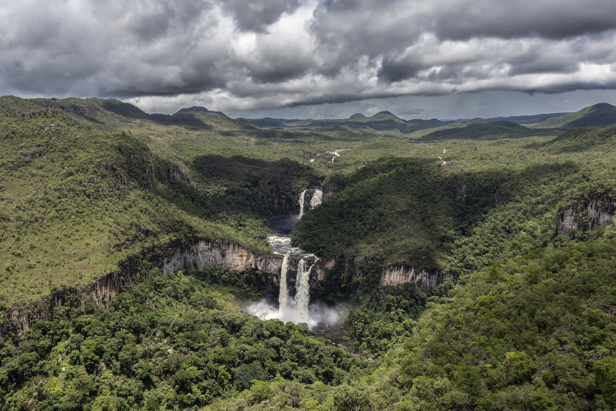
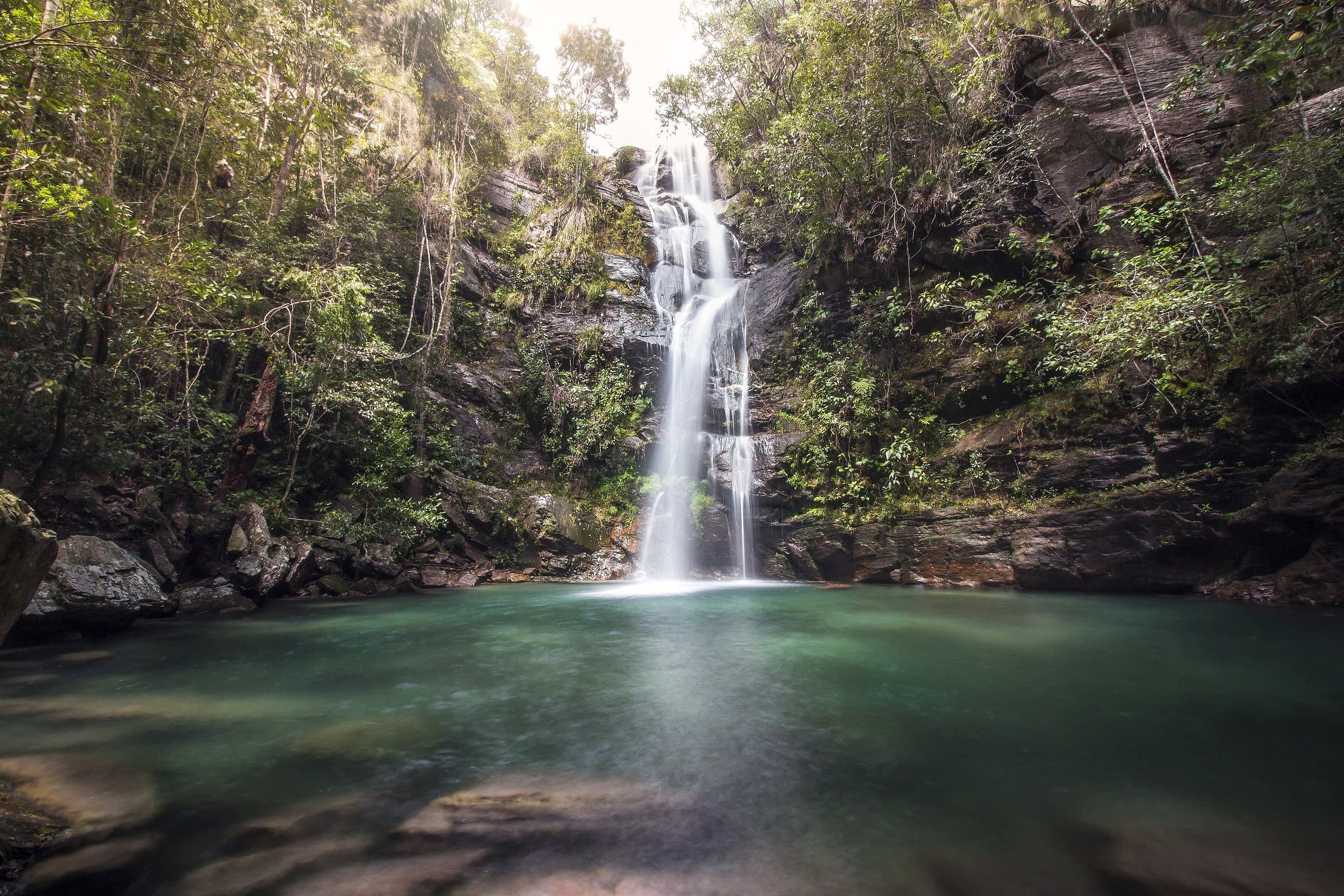
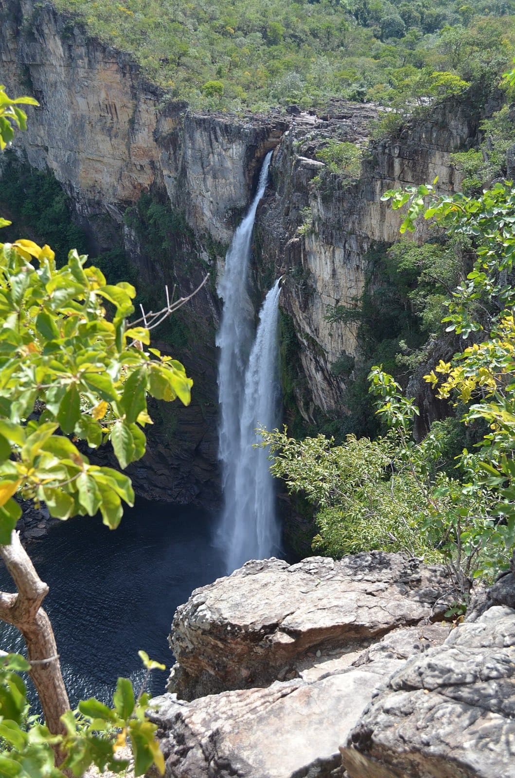
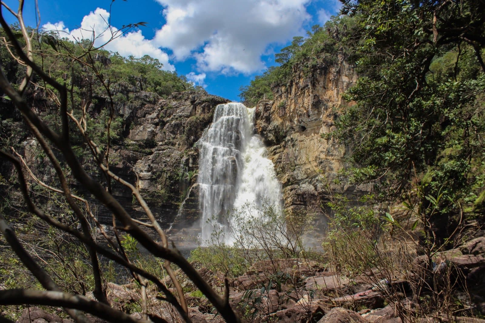
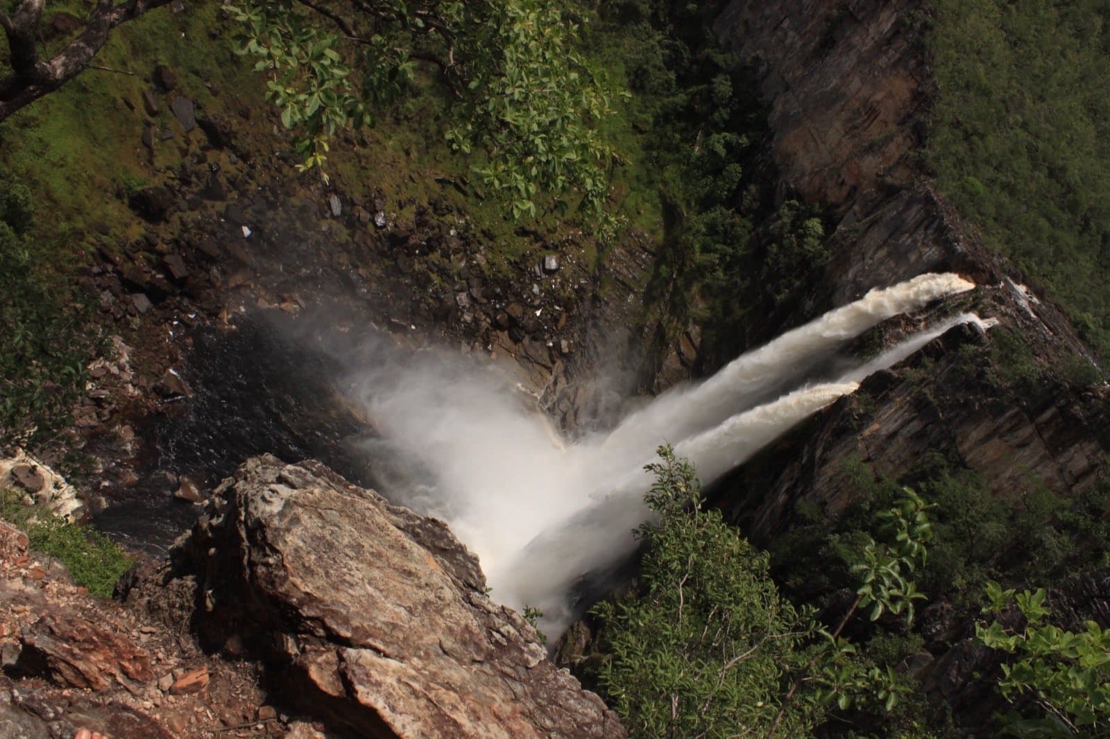
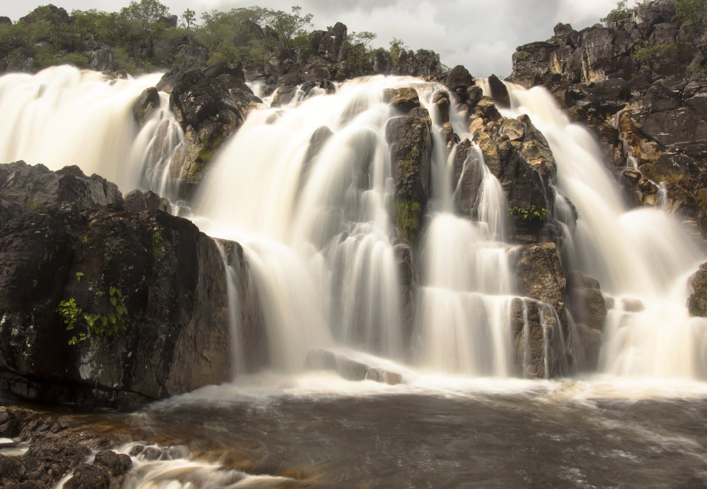
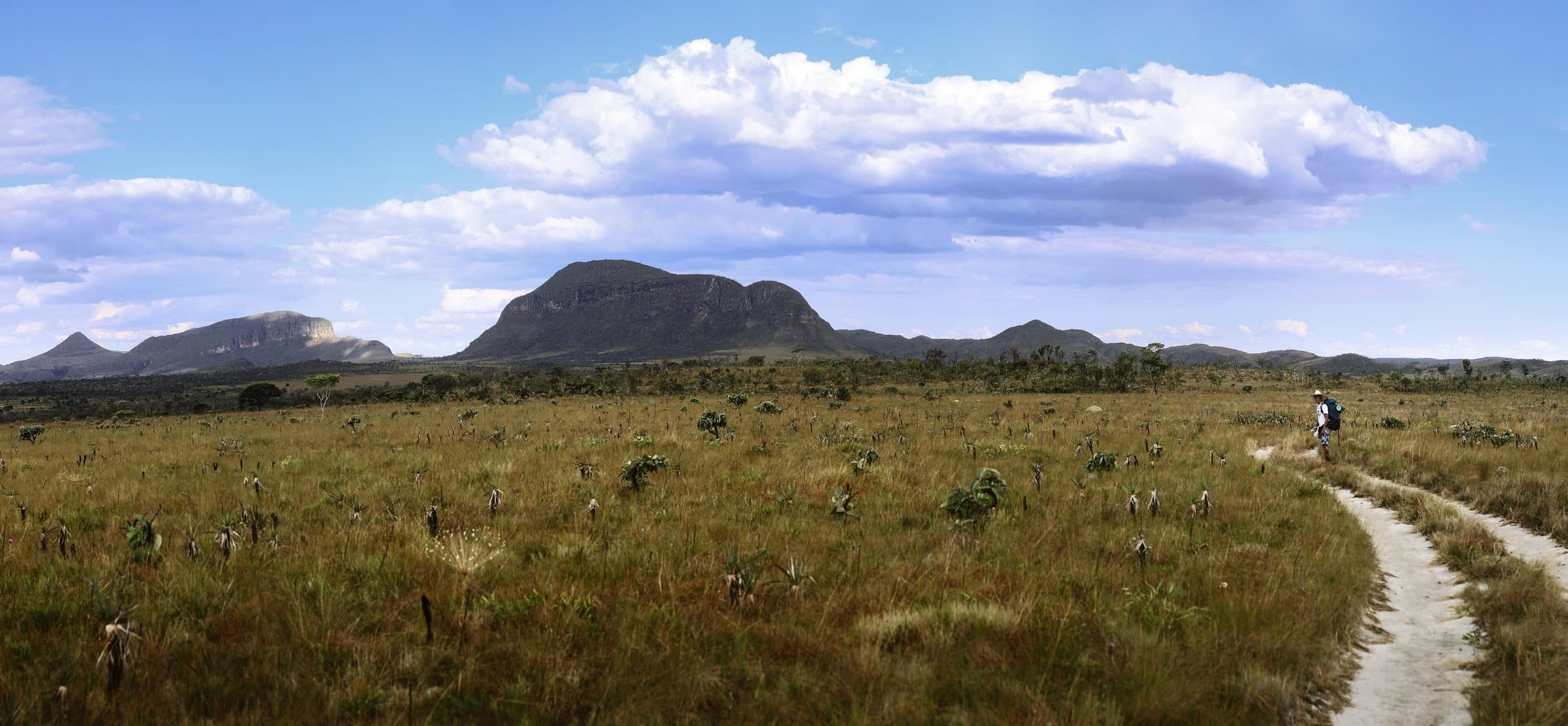
The full circuit described is approximately eleven kilometers, with climbs, descents and sun-exposed stretches. Passing through areas of the old Garimpão adds the memory of crystal mining to the nature watching. The Salto de 120 metros is seen from viewpoints; the Salto de 80 metros, also called Garimpão, has a swimming area where allowed.
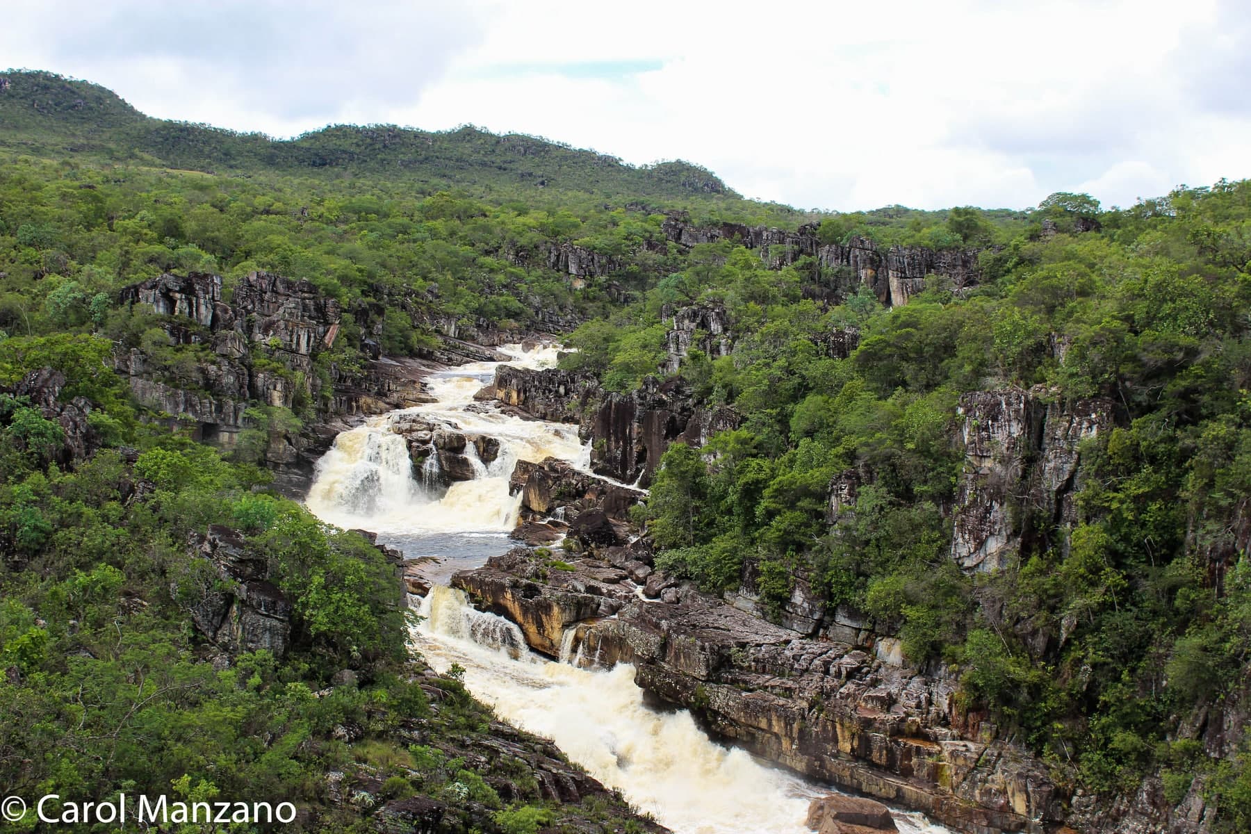
The Carrossel combines rock and water in a visually striking stretch. In the rainy season, roughly November to April in the pattern described, the experience may be limited to the viewpoint. In the dry season, more stretches may be opened, always as the park decides. Do not rely on the calendar alone to decide whether to go into the water.
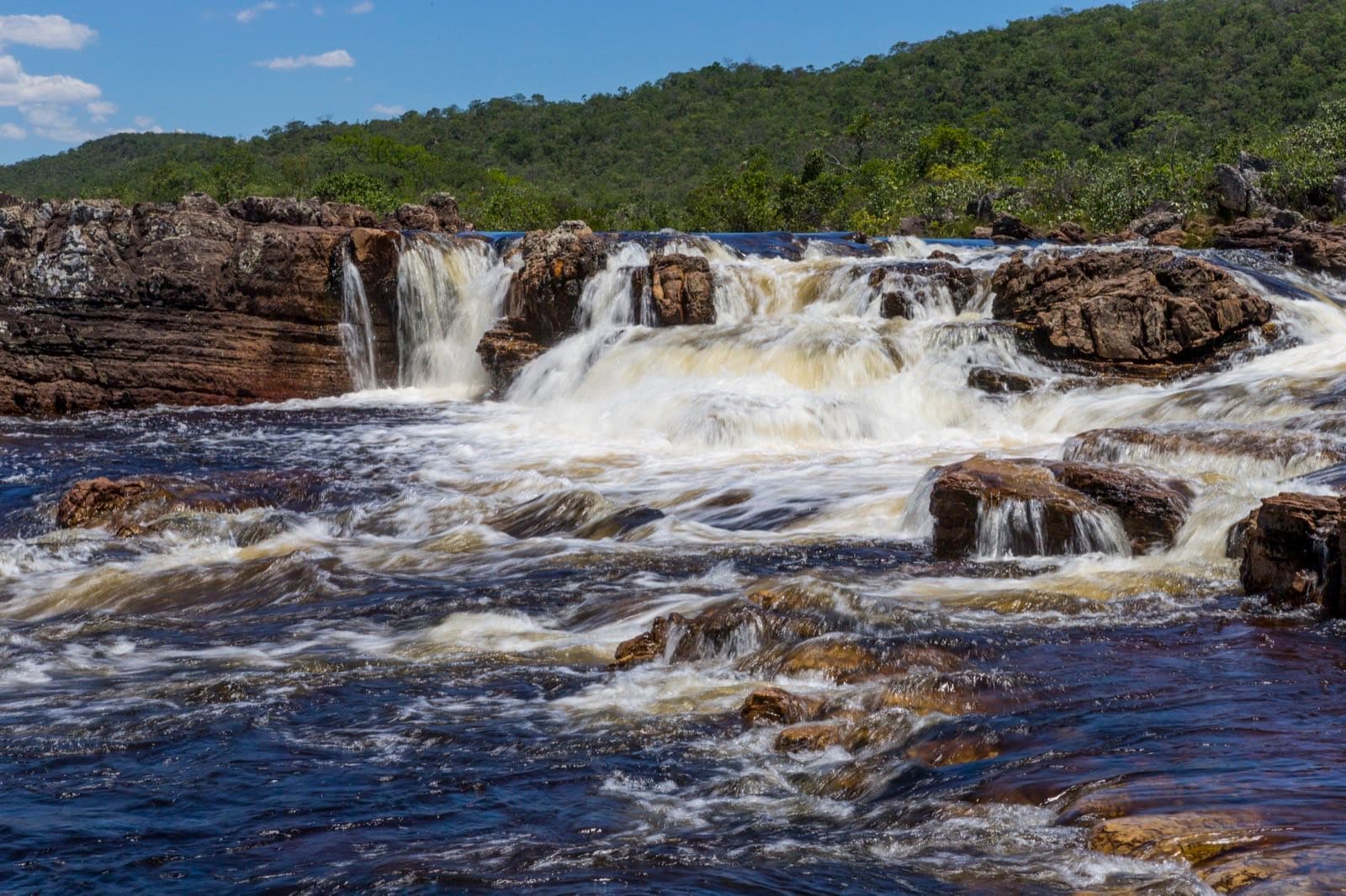
The Corredeiras offer another sequence of pools and river currents. The return on foot is given as about 3.1 km. The internal shuttle lets you cut out part of the effort, and there is a boardwalk of approximately 230 meters from its drop-off point. This structure does not make the whole circuit accessible; discuss your group's needs with the park administration.
Check the day's operation, the last trip and the time needed to get back to the entrance.
Hiking effort
IntenseA longer, steeper or more technical route, with rocks, water crossings and a possible overnight stay. Requires fitness and planning suited to the activity.
Arriving by car
Easy to the entranceReached by paved road or a road passable for an ordinary car. Check the listing for notes on the final stretch and parking.
Historical price range
R$ 31 to R$ 50
Tickets and costs
General admission R$ 49; half-price ticket R$ 24.50 and R$ 5 for eligible residents. Transport, camping and special services are charged separately.
Prices checked on Sep 14, 2026. Confirm when booking.
The historical range helps compare outings; it is not the current rate and does not necessarily include a guide or transportation.
Getting there by car
Reach São Jorge via GO-239 and leave your car in the park's outside parking area. Confirm the local stretch to the entrance. Internal transport to the Corredeiras is a separate service.
The route
Full circuit of approximately 11 km. Internal transport and the Corredeiras boardwalk cover only part of the route.
When to go
In the rainy season, parts of the circuit may be limited to viewing only. In the dry season, more stretches may be opened, depending on the park's assessment.
Plan your visit
The internal shuttle's operation that day, the last trip and the time needed to get back to the entrance; which stretches and swimming areas are open; the group's accessibility needs, with the park administration.
Precautions on site
Do not rely on the calendar alone to decide whether to go into the water; swim only where the park allows it. The boardwalk of about 230 meters does not make the whole circuit accessible.
The green markers show where to start the visit. Check each point’s type: a property reference marks the establishment, not the parking spot or the exact trailhead.
Reception
Visitor Center · São Jorge
Entrance to the São Jorge sector. Show your reservation and confirm the open route at the reception. For traverses, also arrange a pickup at the exit point.
Location reference · checked Sep 14, 2026. Follow local signs when you arrive.
The place, the terrain and the trails
Preparing the Chapada map…
Weather at this place
Loading forecast…
Community routes
Visitor recordings on Wikiloc help you get to know the route and its stops. Measurements are approximate and belong to the recorded track; elevation gain adds up the climbs or descents. Difficulty is the author’s own rating and may differ from the guide’s classification. Check current conditions with the attraction’s operator.
To overlay a route on the map above, download its GPX file from Wikiloc and open it in “Overlay a GPX trail”. Wikiloc may require you to log in to download the file.
Partial curation; sorting only covers the routes listed here.