WaterfallNear Teresina de Goiás
© Emermattoso · CC BY-SA 3.0
Build your trip
Save waterfalls, trails and guesthouses as you browse, and build your own route through the Chapada.
The stay
Between Vila de São Jorge and the Bar do Mirante, on the access road to Chapada dos Veadeiros National Park, west of the village and north of the GO-239.
 Vila InfinitoExperiential Chalets
Towns and villages
Culture
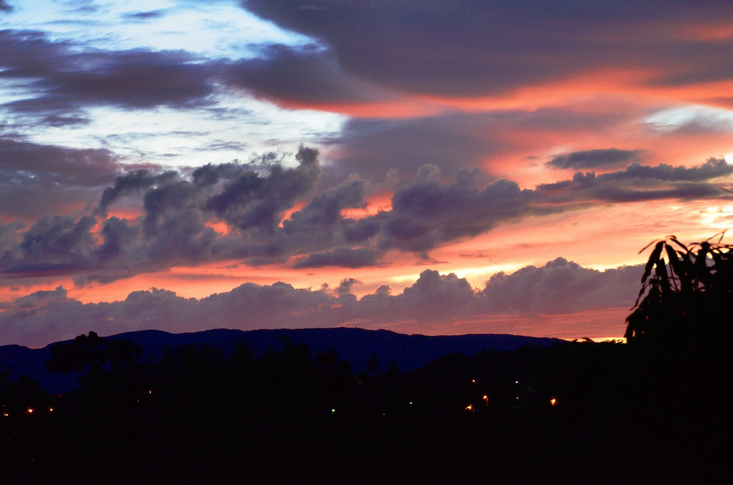 Towns and villagesCavalcanteImage credit: Carlos Ebert from São Paulo, BrazilGRU · CC BY 2.0
Build your trip
Save waterfalls, trails and guesthouses as you browse, and build your own route through the Chapada.
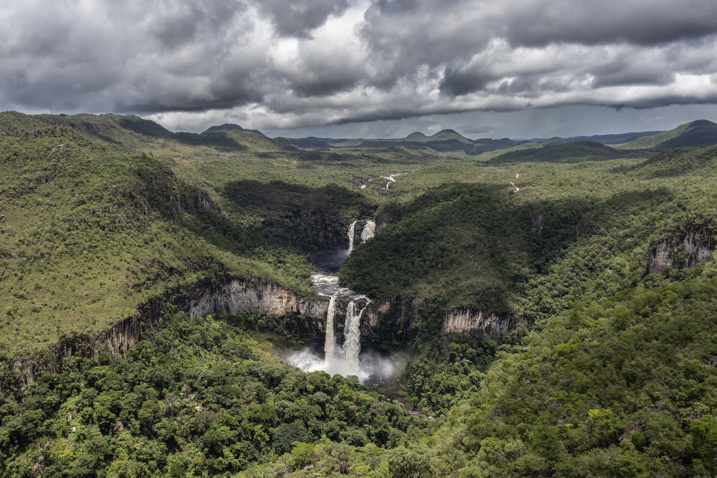 ViewpointWindow LookoutImage credit: ThiagoALacerda · CC BY-SA 4.0
The stay
Between Vila de São Jorge and the Bar do Mirante, on the access road to Chapada dos Veadeiros National Park, west of the village and north of the GO-239.
 Towns and villagesVila de São JorgeImage credit: MTur Destinos · Public domain
Waterfall
Near Alto Paraíso de Goiás
We do not have a confirmed direct channel yet. Ask the tourist service center or a local guide.
Pets
Portal da Chapada reports that the attraction accepts pets. Confirm the conditions with the person in charge before your visit.
Destination: Cachoeira do Papagaio, Alto Paraíso de Goiás
Two nearby bases among the guide’s seven towns and villages. Measured from the town center; walking trails are not included.
Routes checked on Google Maps; the distance varies with the route chosen.
Part of this page has not been translated yet and is shown in Portuguese. Original place names help when contacting local operators.
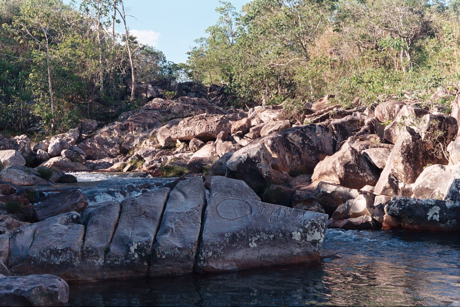
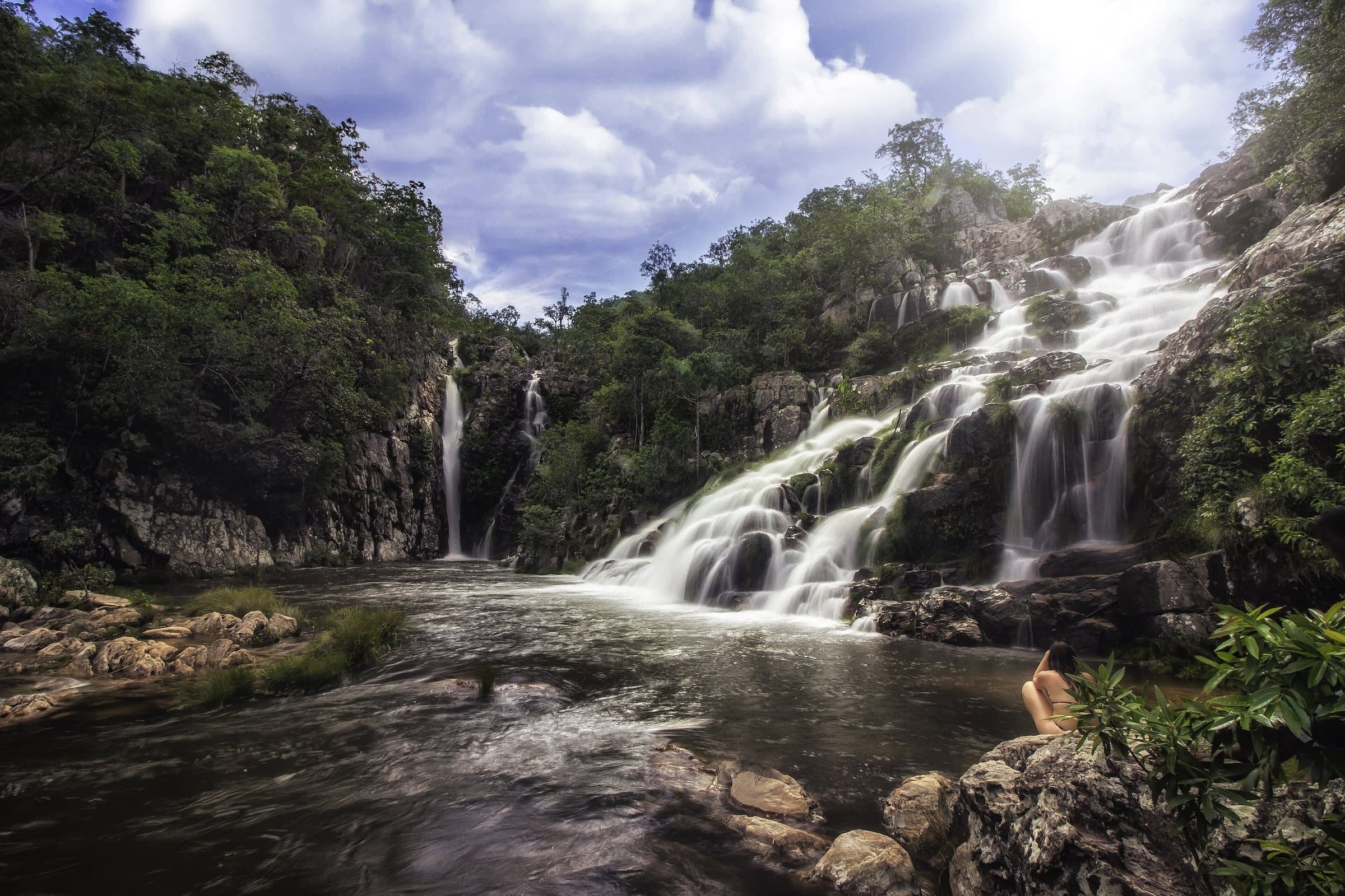
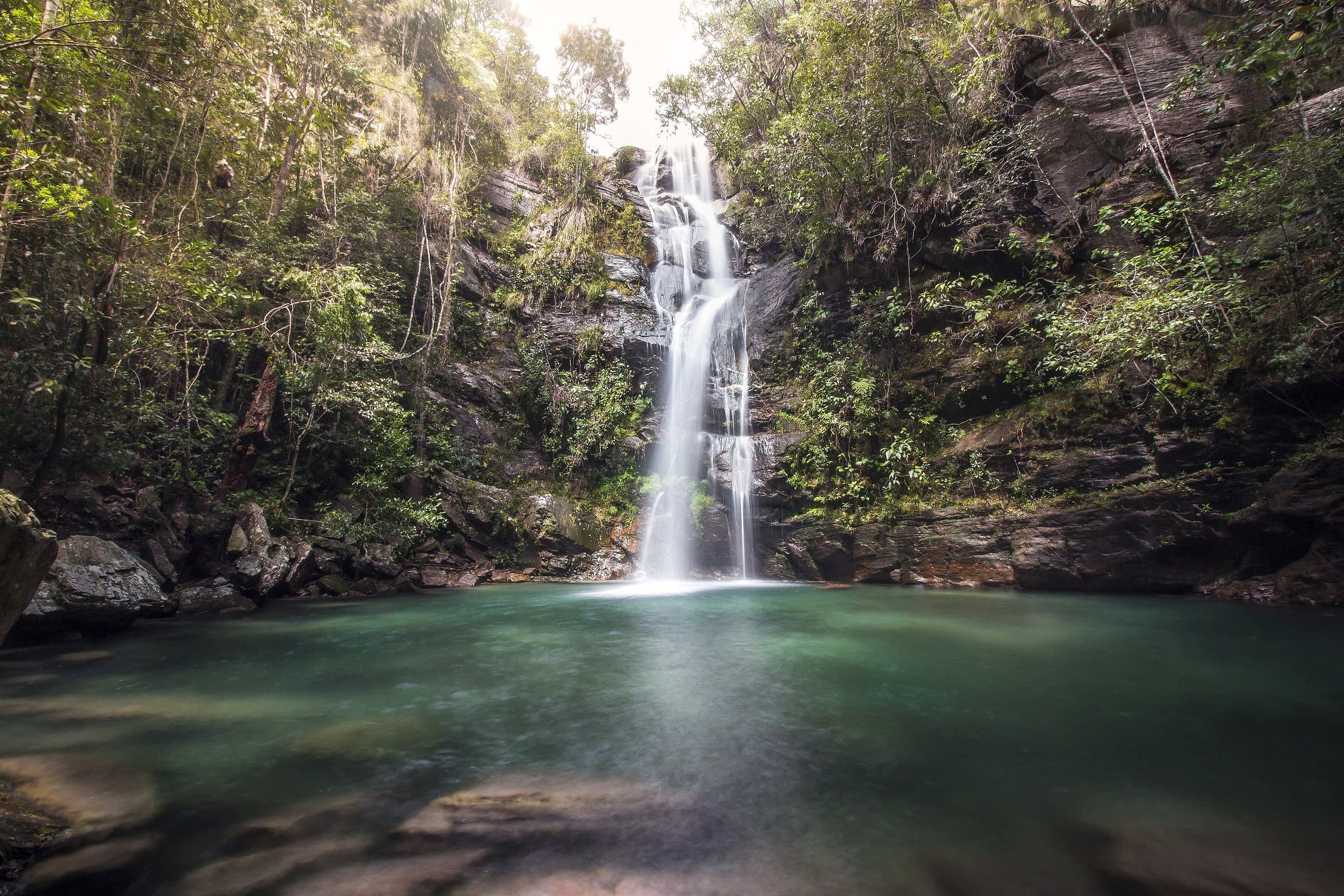
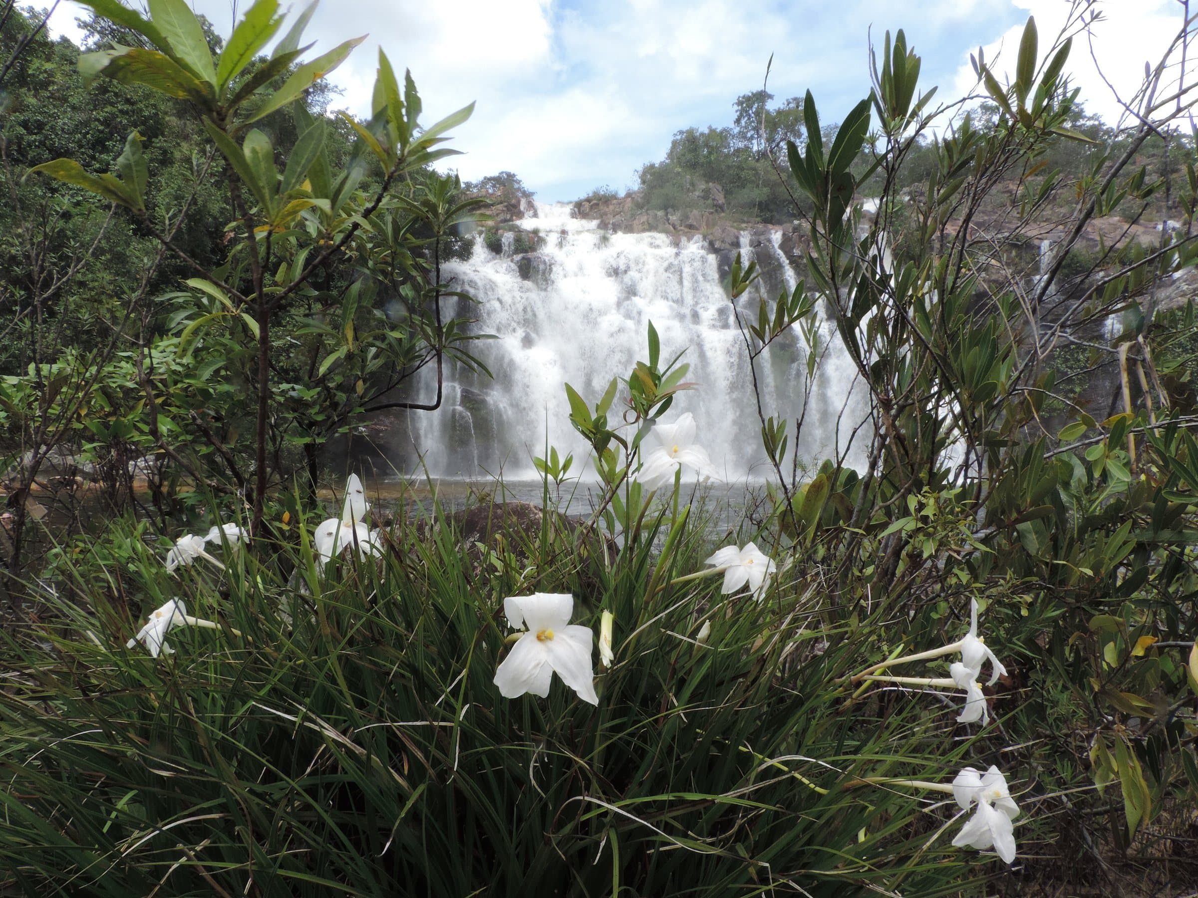
On the way to the Couros, Cachoeira do Papagaio makes for a stop with a short distance between the parking area and the water. Pools and water moving between rocks, more pleasant for lingering when the flow is low, plus rural experiences and horseback rides offered by the property.
The farm appears under differing names: “Árvore Alta” and “Árvore Grande” in the tourist references found. Keep the waterfall's name as your main reference and confirm the entrance gate with the person in charge. Do not use the farm's name on its own to follow an auto-generated route.
Confirm the price and what is included when booking.
The historical range helps compare outings; it is not the current rate and does not necessarily include a guide or transportation.
From Alto Paraíso, approximately 18 km of pavement, 22 km of dirt road to the entrance gate and another 6 km inside the property to the parking area. Confirm a suitable car and whether the road is passable after rain; the entrance gate and the parking area are different points.
A short distance between the parking area and the water.
Entrance gate, with the person in charge; do not use the farm's name on its own to follow an auto-generated route.
The entrance and parking do not have a confirmed point on this map yet. Arrange your arrival with the operator or local guide using the contacts on this page before planning your route.
Visitor recordings on Wikiloc help you get to know the route and its stops. Measurements are approximate and belong to the recorded track; elevation gain adds up the climbs or descents. Difficulty is the author’s own rating and may differ from the guide’s classification. Check current conditions with the attraction’s operator.
To overlay a route on the map above, download its GPX file from Wikiloc and open it in “Overlay a GPX trail”. Wikiloc may require you to log in to download the file.
Search Google for Cachoeira do Papagaio routes published on Wikiloc ↗
Your rating and comment are private and saved to your account.
How your data is usedLoading…
Waterfall
© Emermattoso · CC BY-SA 3.0
© Clara Goldenstein · CC BY-SA 3.0
© Aline Fortuna · CC BY-SA 4.0
© Aline Fortuna · CC BY-SA 4.0
Chapada dos Veadeiros: a protected area for rare and endemic species of Cerrado flora and fauna.
For your safety: hire a guide.
Natural Heritage of Humanity — UNESCO since 2001
Voted the best national park in Brazil twice by TripAdvisor
More than 120 in Alto Paraíso de Goiás alone