Between Vila de São Jorge and the Bar do Mirante, on the access road to Chapada dos Veadeiros National Park, west of the village and north of the GO-239.
Between Vila de São Jorge and the Bar do Mirante, on the access road to Chapada dos Veadeiros National Park, west of the village and north of the GO-239.
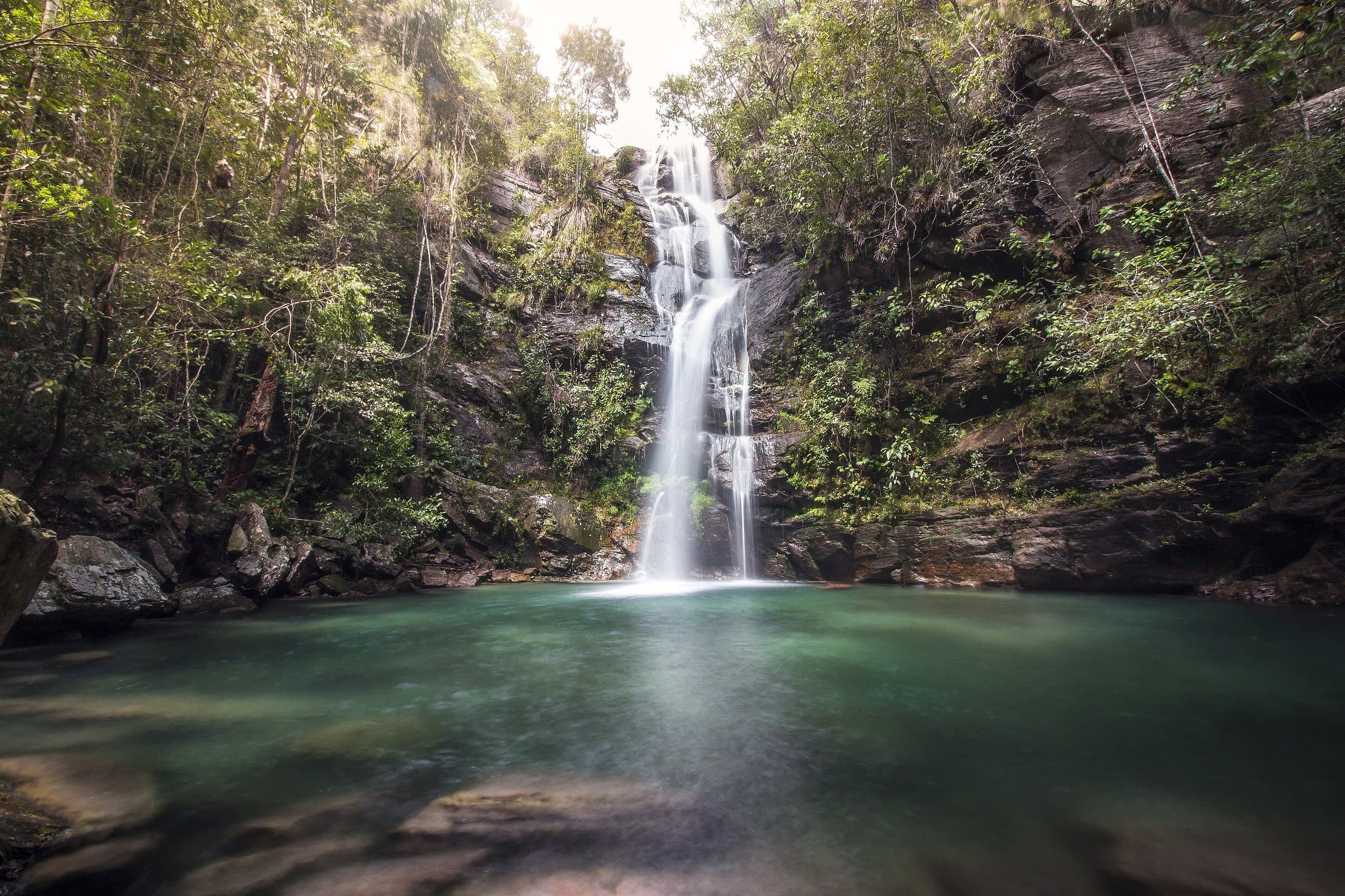
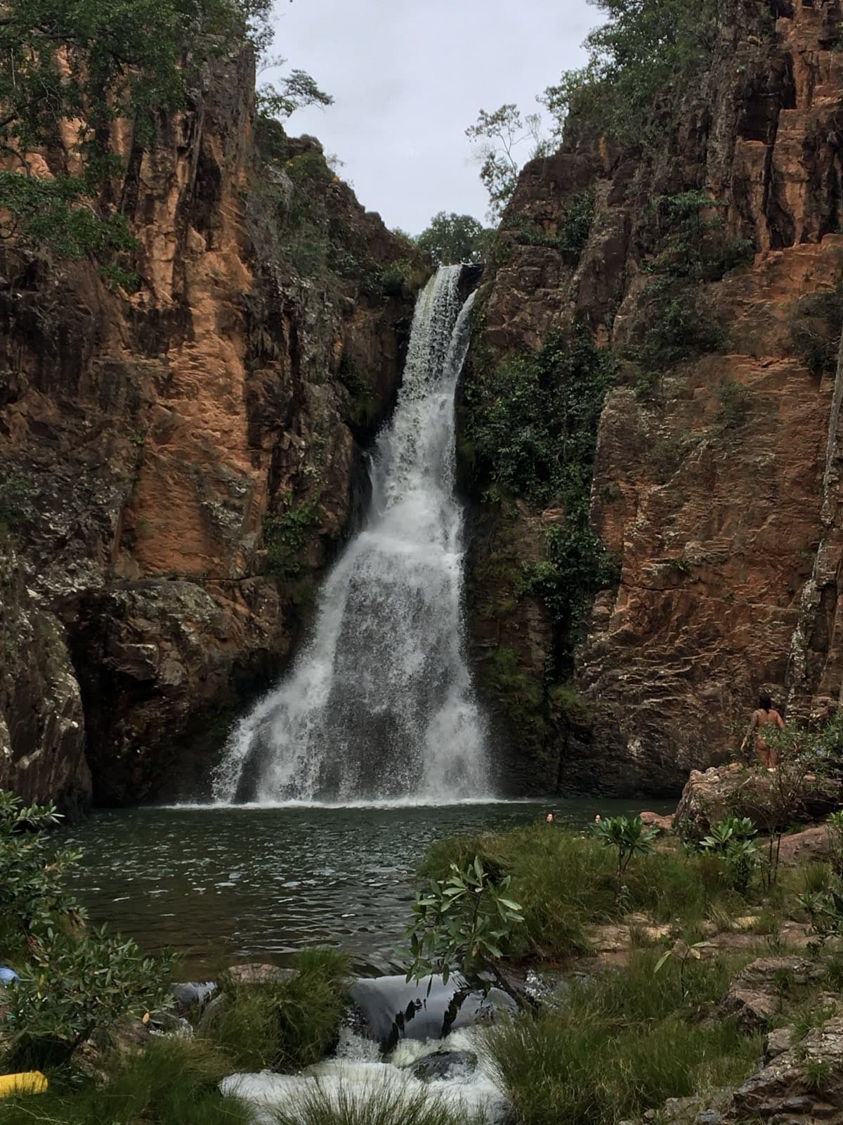
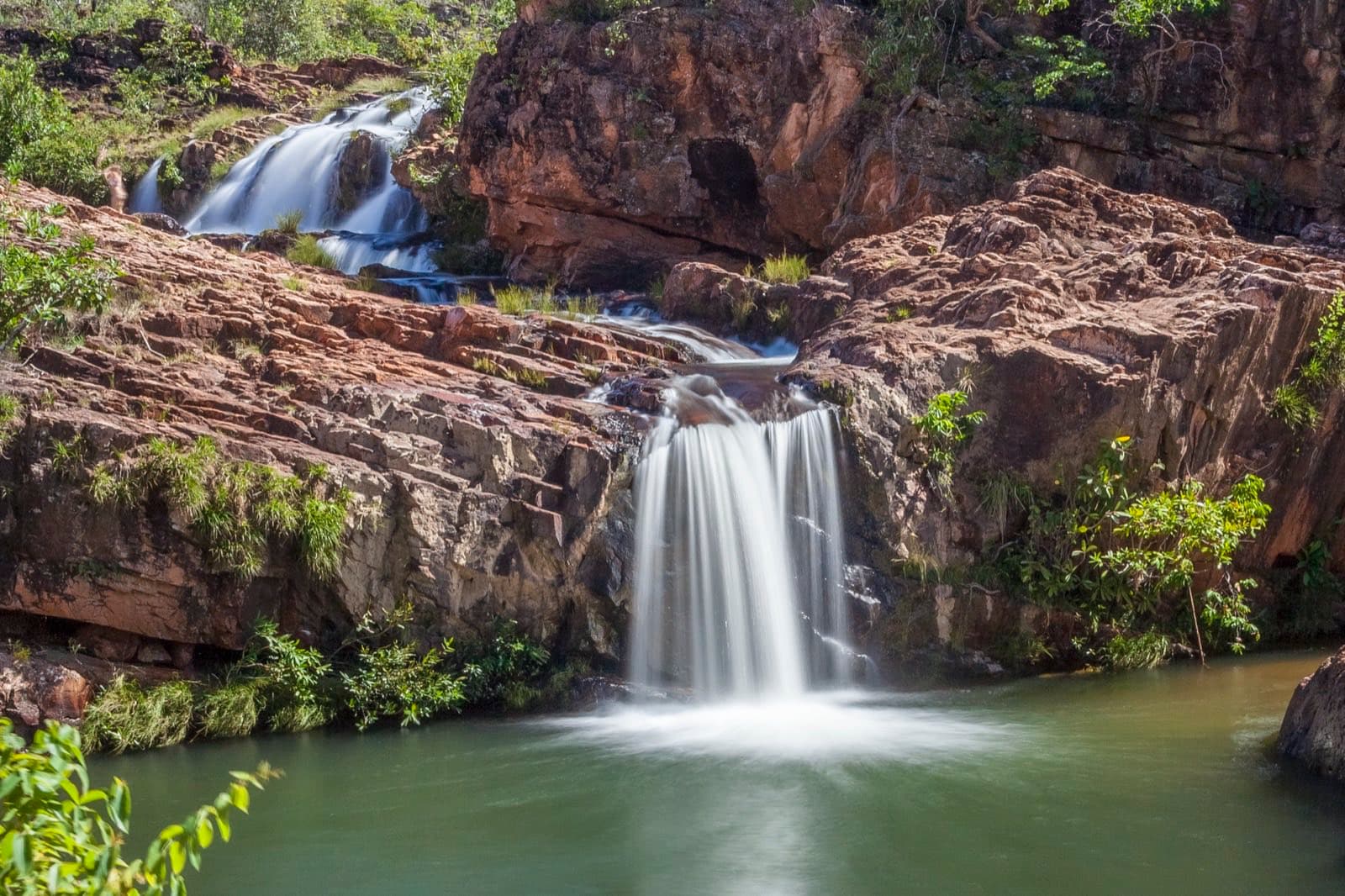
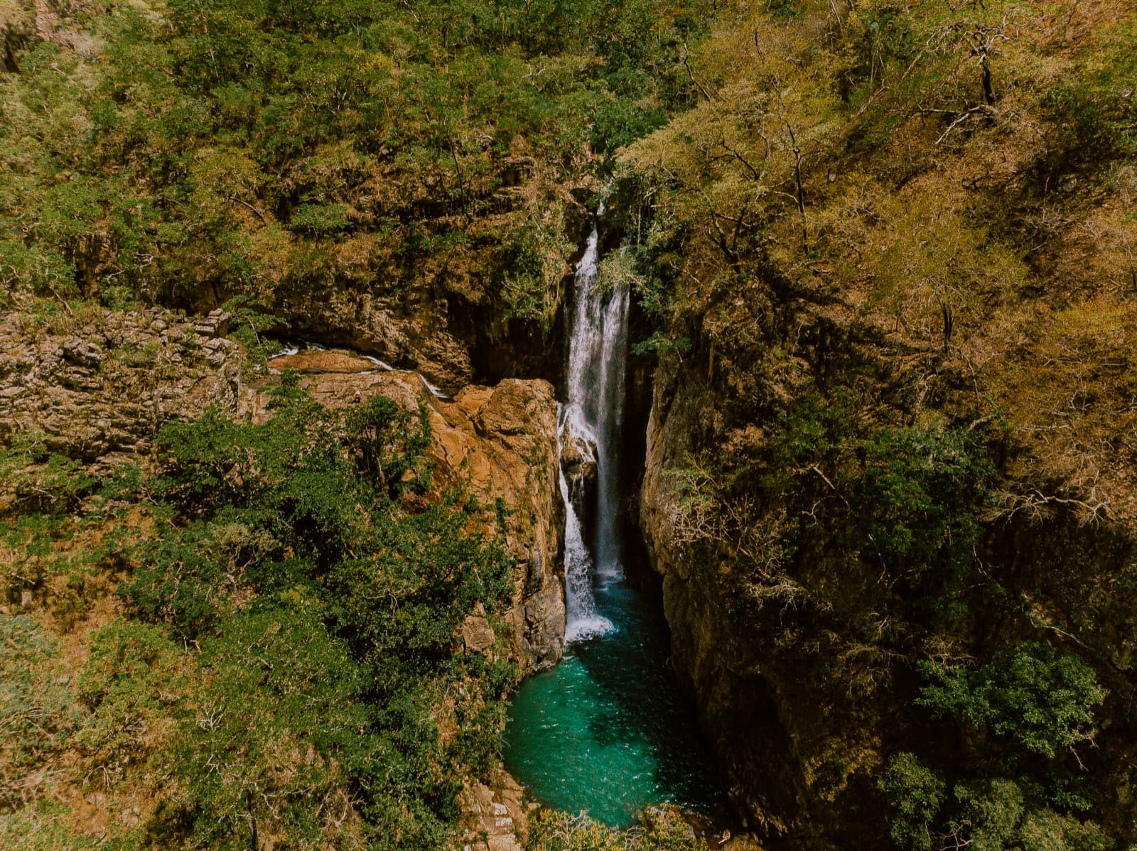
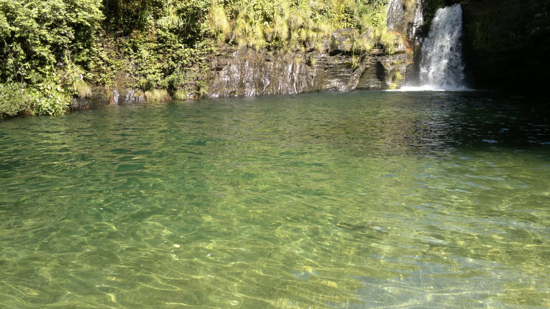
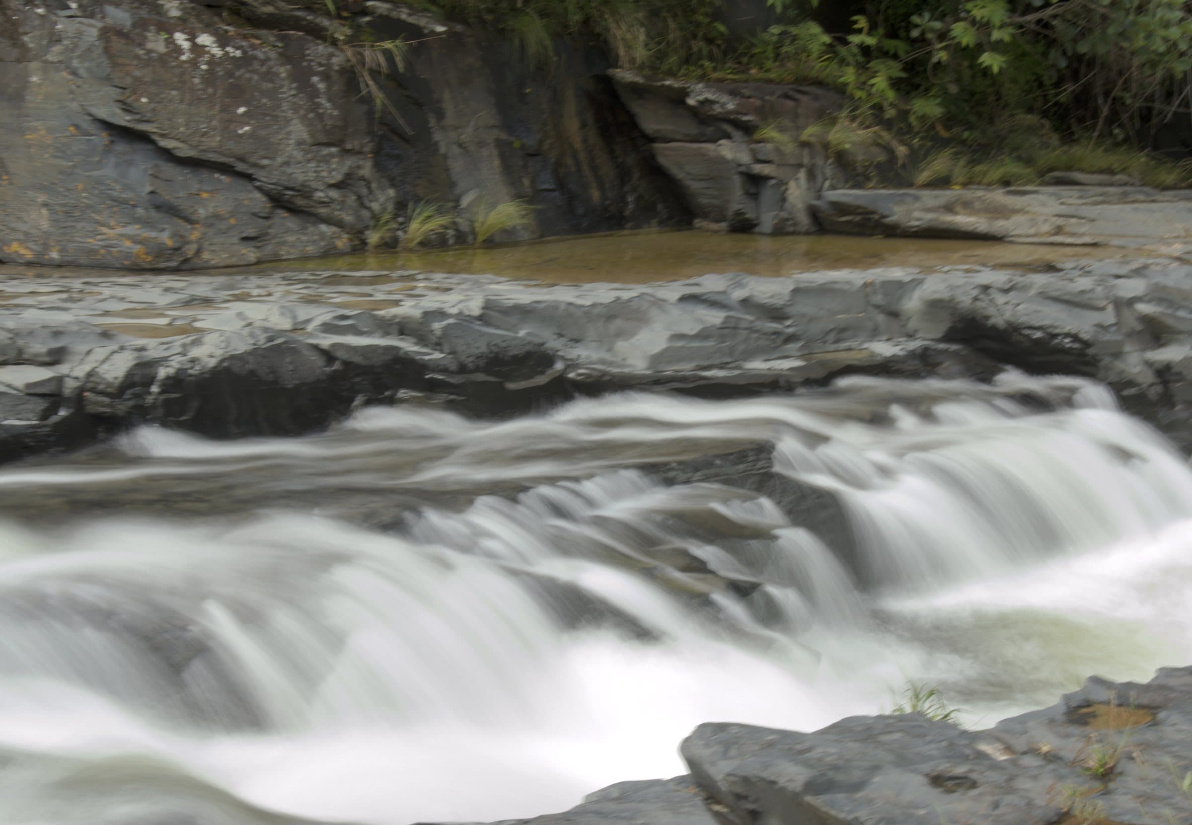
Macaquinhos, formerly known as Santuário das Pedras, brings together a sequence of approximately ten falls and pools along the watercourse that flows into the Rio Macaco. The walk follows the river and lets you notice changes in terrain, volume and depth along the circuit.
Cachoeira do Encontro, formed where the Rio Macaquinhos joins the Córrego Fundão, is among the highlighted spots, with deep pools and greenish water. Caverna combines water and a rock cavity; Luz, Poço do Jump and Sereno round out the names remembered. Banho Pelado is an area associated with naturism: confirm the current rule and respect privacy, without photographing people without their consent.
The name Poço do Jump and reports of jumps do not represent a recommendation to jump. Permissions and depth vary, and submerged rocks may not be visible. Use the entry points indicated by the person in charge.
The road access has a final descent that requires attention. Roadwork or road improvements may change this condition, but they do not guarantee passage in every season. Include the extra distance on foot in your total effort if the vehicle cannot reach the entrance gate.
Hiking effort
ModerateClimbs, descents and short stretches of rock or gravel. Requires stamina and some hiking experience; heat and rain can make it harder.
Arriving by car
Difficult accessSignificant obstacles, steep ramps, trouble for low cars or 4×4 logistics. Check the listing to see whether this applies to the whole access or only the final stretch. High clearance and 4×4 are different things.
Historical price range
R$ 31 to R$ 50
Prices and bookings
Confirm the price and what is included when booking.
The historical range helps compare outings; it is not the current rate and does not necessarily include a guide or transportation.
Getting there by car
Long rural road with rocks and descents, especially difficult for low-clearance cars on the final stretch. There have been improvements on steep ramps, but confirm whether your car should stay in the upper parking lot or can reach the entrance gate, especially after rain.
The route
Low-clearance cars may need to park about 900 m before the entrance gate. That walk adds to the distance of the waterfall circuit.
When to go
The condition of the final descent varies with rain and maintenance. Confirm the recommended parking for your vehicle.
Plan your visit
Current rule for Banho Pelado (an area associated with naturism); condition of the road’s final descent and where to park; water entry points indicated by the person in charge.
Precautions on site
The name Poço do Jump and reports of jumps do not represent a recommendation to jump: permissions and depth vary, and submerged rocks may not be visible. Use the entry points indicated by the person in charge. Respect privacy at Banho Pelado and do not photograph people without their consent.
The green markers show where to start the visit. Check each point’s type: a property reference marks the establishment, not the parking spot or the exact trailhead.
Parking
Macaquinhos entrance
Point listed as entrance and parking area. Confirm at the reception where to leave the car, depending on conditions on the final descent.
Location reference · checked Sep 14, 2026. Follow local signs when you arrive.
The place, the terrain and the trails
Preparing the Chapada map…
Weather at this place
Loading forecast…
Community routes
Visitor recordings on Wikiloc help you get to know the route and its stops. Measurements are approximate and belong to the recorded track; elevation gain adds up the climbs or descents. Difficulty is the author’s own rating and may differ from the guide’s classification. Check current conditions with the attraction’s operator.
To overlay a route on the map above, download its GPX file from Wikiloc and open it in “Overlay a GPX trail”. Wikiloc may require you to log in to download the file.
Partial curation; sorting only covers the routes listed here.