Between Vila de São Jorge and the Bar do Mirante, on the access road to Chapada dos Veadeiros National Park, west of the village and north of the GO-239.
Between Vila de São Jorge and the Bar do Mirante, on the access road to Chapada dos Veadeiros National Park, west of the village and north of the GO-239.
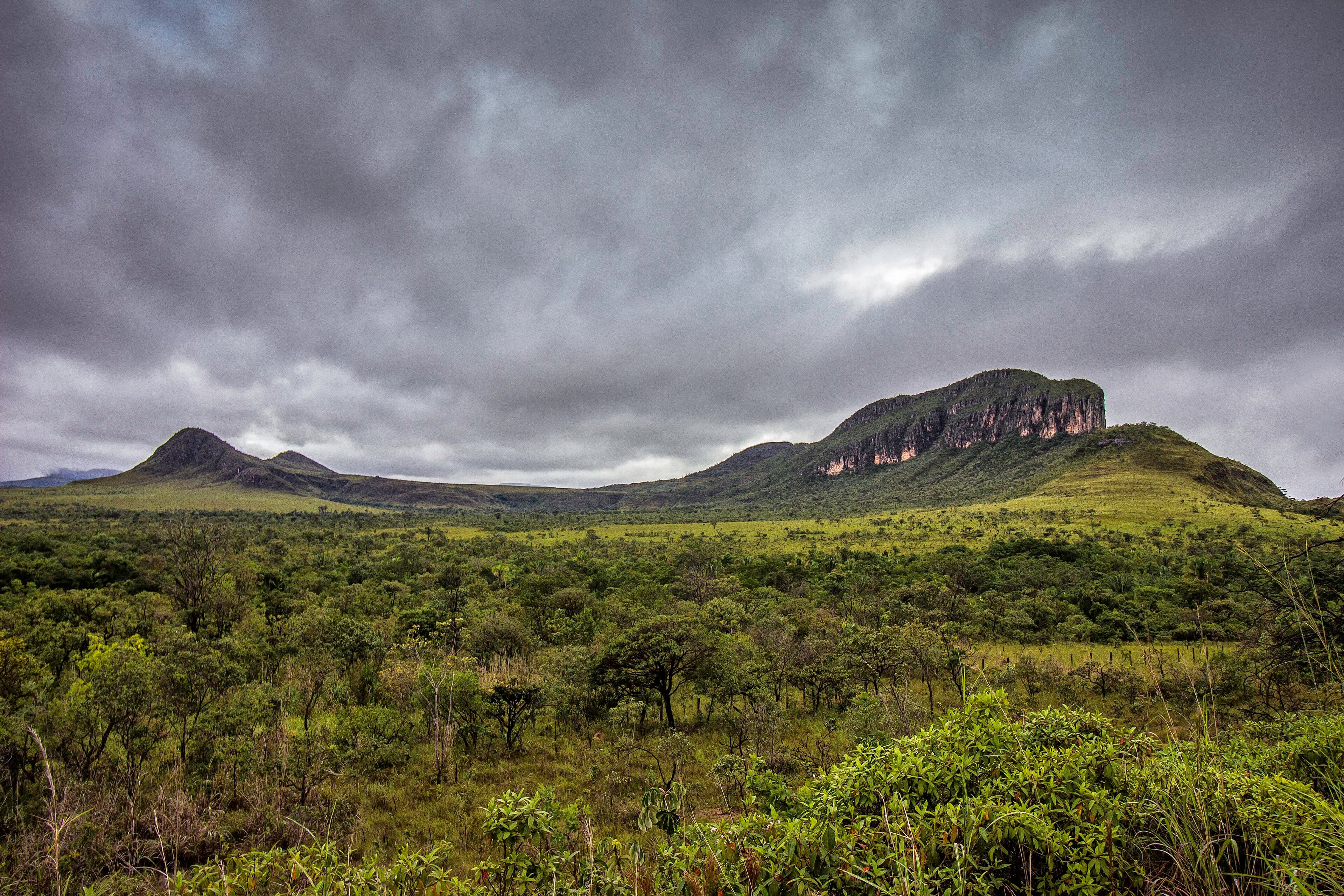
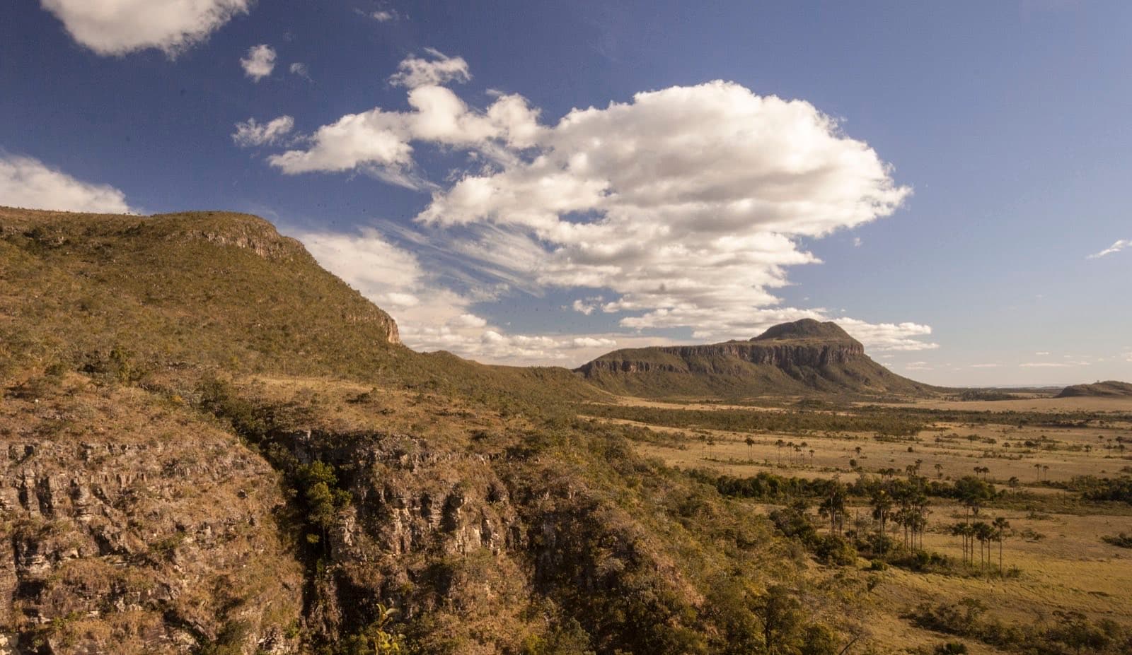
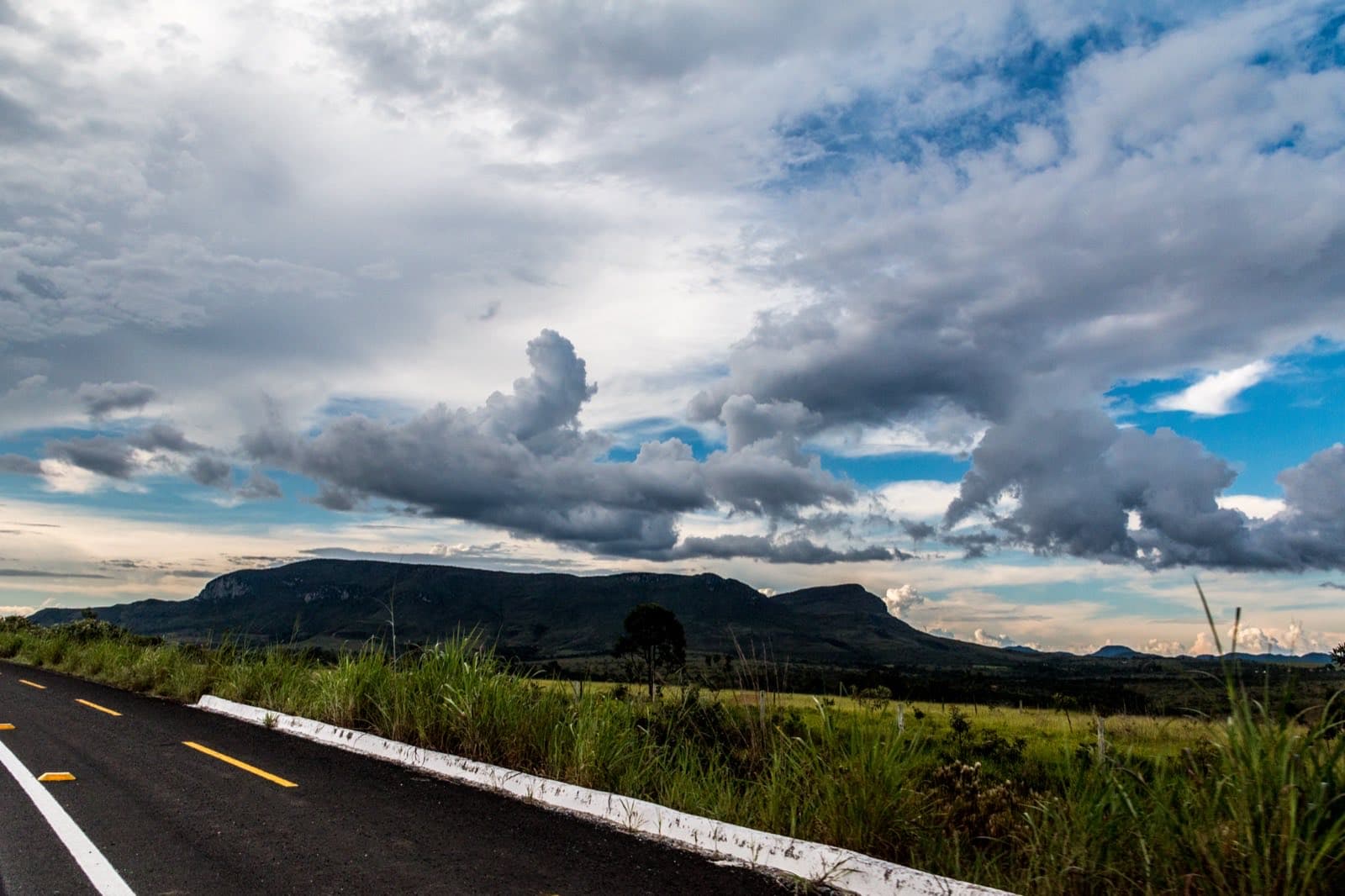
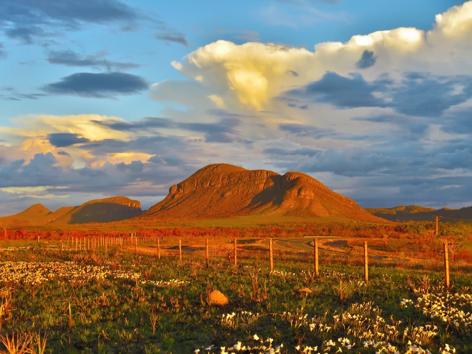
Morro da Baleia is a landmark on the skyline between Alto Paraíso and São Jorge, visible from different points along the road and the bike path. Its former name, Serra do Ferro de Engomar, referred to the shape of a clothes iron. The current name is also a reading of its silhouette, which resembles a whale.
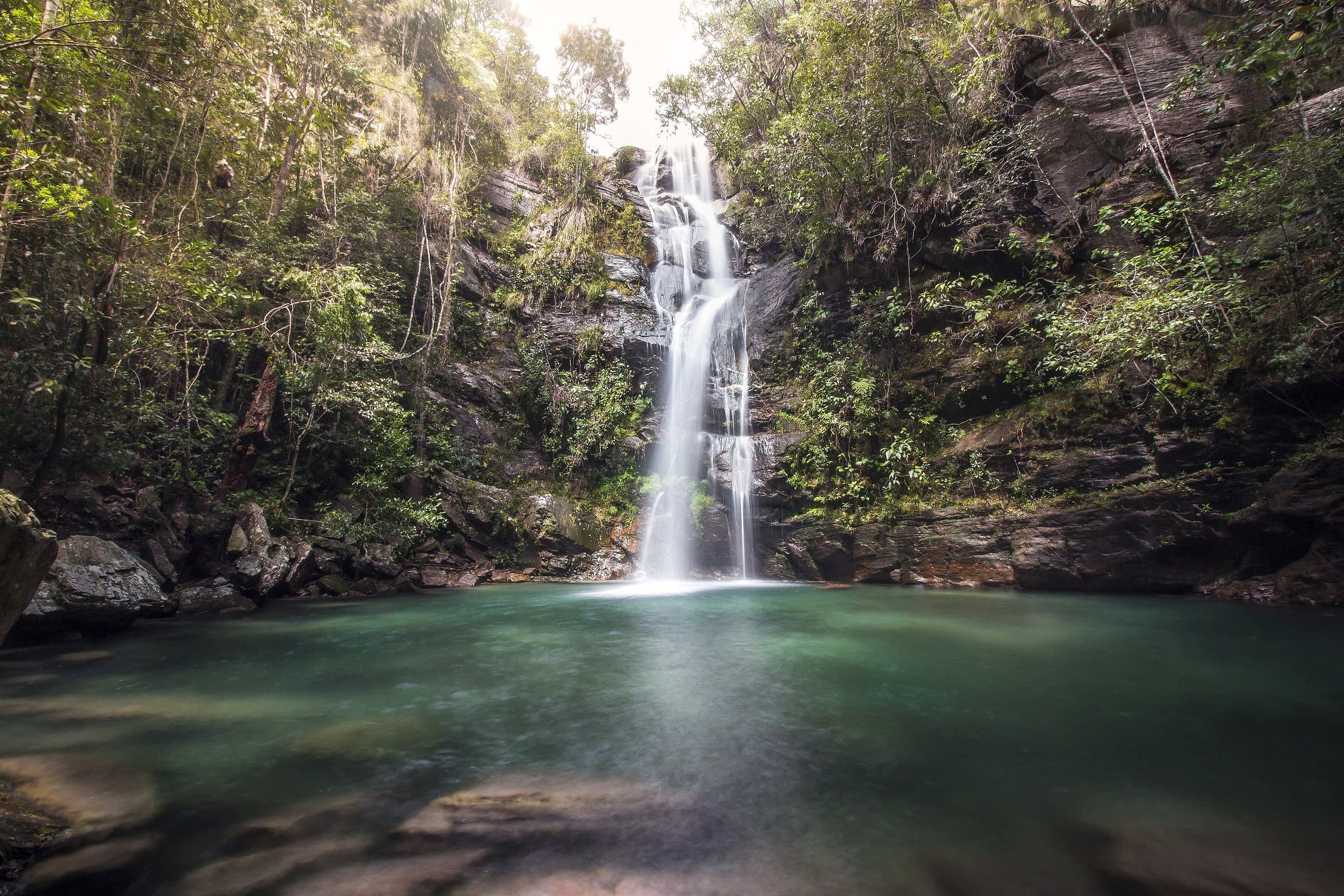
The trail reported for the Bailarina area starts with a steep climb, including steps, and continues among pale rocks and cerrado vegetation. The viewpoints reveal the Jardim de Maytréia, the Buracão and other features of the terrain. Cachoeira da Bailarina is seasonal, and its water depends on the rains.
The described route ends at the viewpoints. Access to the pool was not permitted, due to environmental fragility and the risk of falling rocks. Respect that restriction and also confirm that the route itself is authorized, given the park boundaries.
Hiking effort
ModerateClimbs, descents and short stretches of rock or gravel. Requires stamina and some hiking experience; heat and rain can make it harder.
Arriving by car
Access to be confirmedThere is not yet enough information to assess the road to the arrival point. A map location and an address alone do not confirm the road surface.
Historical price range
R$ 0 to R$ 30
Prices and bookings
Confirm the price and what is included when booking.
The historical range helps compare outings; it is not the current rate and does not necessarily include a guide or transportation.
Getting there by car
The approach to the trail uses a dirt side road off GO-239. Arrange the exact starting point with your guide and confirm a suitable car; the view from the paved road is not the same as reaching the Bailarina.
The route
No distance given; the described route ends at the viewpoints.
When to go
Also confirm that the route itself is authorized, given the park boundaries. Cachoeira da Bailarina, on the same route, is seasonal and its water depends on the rains.
Plan your visit
Authorization for the route itself up to the viewpoints, given the park boundaries.
Precautions on site
There is no permitted access to the Bailarina pool, due to environmental fragility and the risk of falling rocks; the route ends at the viewpoints.
The entrance and parking do not have a confirmed point on this map yet. Arrange your arrival with the operator or local guide using the contacts on this page before planning your route.
The place, the terrain and the trails
Preparing the Chapada map…
Weather at this place
Loading forecast…
Community routes
Visitor recordings on Wikiloc help you get to know the route and its stops. Measurements are approximate and belong to the recorded track; elevation gain adds up the climbs or descents. Difficulty is the author’s own rating and may differ from the guide’s classification. Check current conditions with the attraction’s operator.
To overlay a route on the map above, download its GPX file from Wikiloc and open it in “Overlay a GPX trail”. Wikiloc may require you to log in to download the file.
Partial curation; sorting only covers the routes listed here.