
Thermal watersNear Colinas do Sul
Thermal waters
Termas do Jequitibá
★ Your experienceNear Colinas do Sul
Contact this place
We do not have a confirmed direct channel yet. Ask the tourist service center or a local guide.
Other ways to find the place
Pets
Pet policy to be confirmed
We have not found a confirmed public policy for this visit. Contact the operator before bringing your pet.
Approximate driving distances
Destination: Termas do Jequitibá, Colinas do Sul
Two nearby bases among the guide’s seven towns and villages. Measured from the town center; walking trails are not included.
Checked on Sep 15, 2026
Routes checked on Google Maps; the distance varies with the route chosen.
Part of this page has not been translated yet and is shown in Portuguese. Original place names help when contacting local operators.
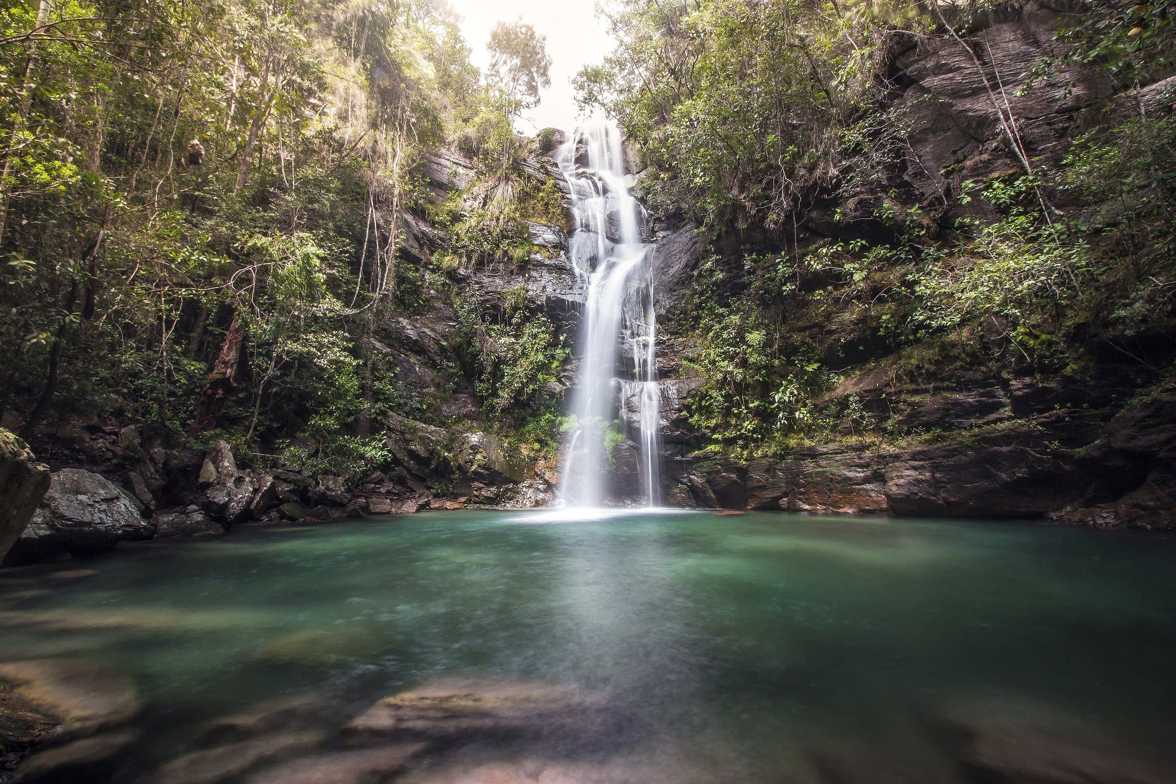
Termas do Jequitibá is presented as having one larger pool and other smaller spots, including small falls. The sunnier area, the parking lot and the restaurant made up the facilities for a stay.
- Hiking effort
- Very lightNo walking, or only a very short distance. Check the ground, steps, ramps and access to the restroom; a short distance does not guarantee accessibility.
- Arriving by car
- Access to be confirmedThere is not yet enough information to assess the road to the arrival point. A map location and an address alone do not confirm the road surface.
- Historical price range
- R$ 31 to R$ 50
Prices and bookings
Confirm the price and what is included when booking.
The historical range helps compare outings; it is not the current rate and does not necessarily include a guide or transportation.
Getting there by car
Entrance next to GO-239. Confirm the reopening, the internal road surface and access for low-clearance cars before planning the visit.
Visits are suspended or reopening has not been confirmed yet. Contact the operator before planning this outing.
Plan your visit
Before setting out: reopening, food and admission.
Pair it with these places
Where to arrive and start
The green markers show where to start the visit. Check each point’s type: a property reference marks the establishment, not the parking spot or the exact trailhead.
Property reference
Termas do Jequitibá
The hot springs venue's reference on Google Maps. Go to the reception for tickets and directions to the parking area.
Location reference · checked Sep 15, 2026. Follow local signs when you arrive.
The place, the terrain and the trails
Preparing the Chapada map…
Weather at this place
Loading forecast…
Community routes
Visitor recordings on Wikiloc help you get to know the route and its stops. Measurements are approximate and belong to the recorded track; elevation gain adds up the climbs or descents. Difficulty is the author’s own rating and may differ from the guide’s classification. Check current conditions with the attraction’s operator.
To overlay a route on the map above, download its GPX file from Wikiloc and open it in “Overlay a GPX trail”. Wikiloc may require you to log in to download the file.
Search Google for Termas do Jequitibá routes published on Wikiloc ↗
Your experience
Your rating and comment are private and saved to your account.
How your data is usedLoading…